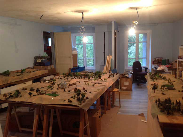
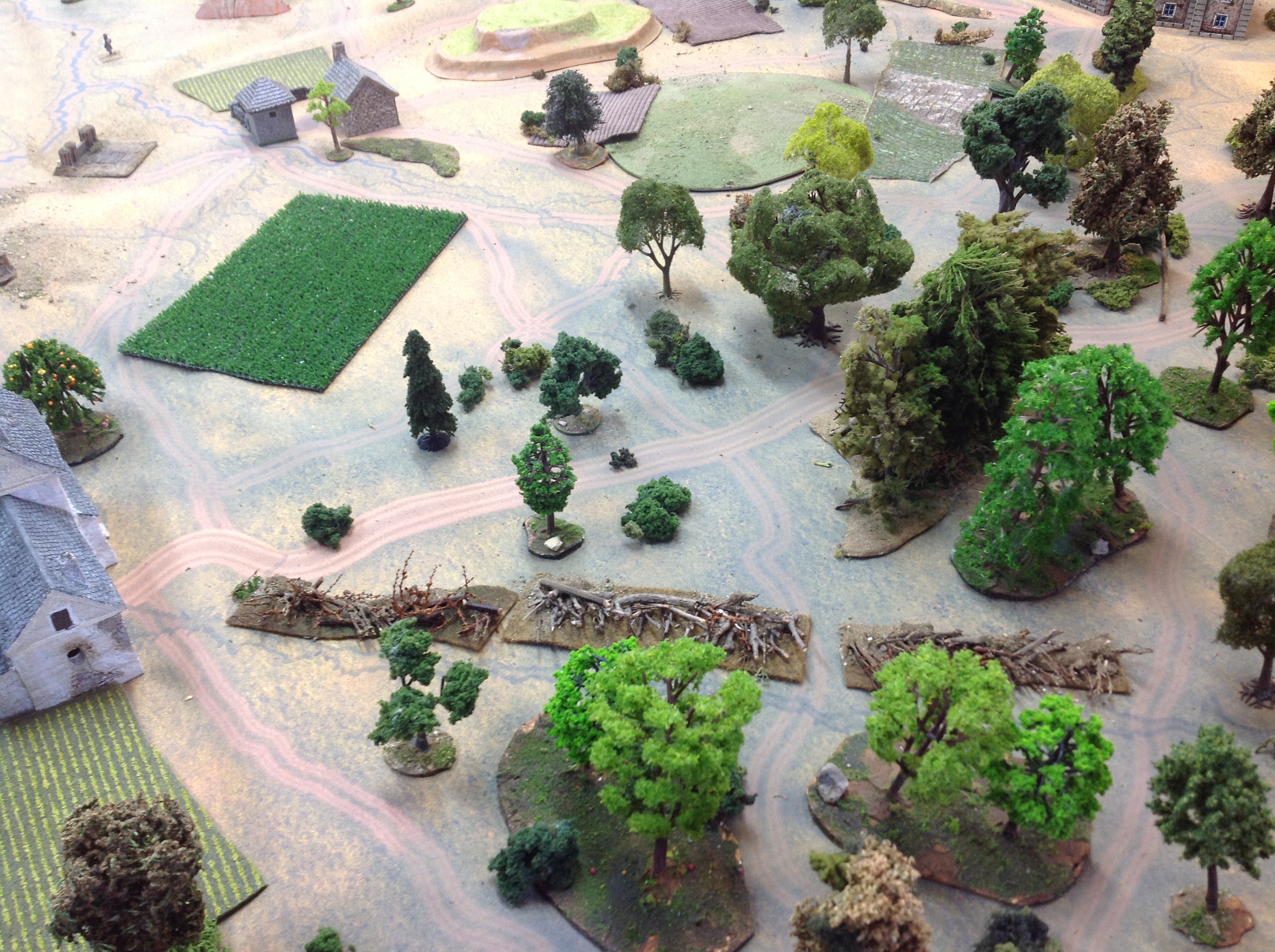
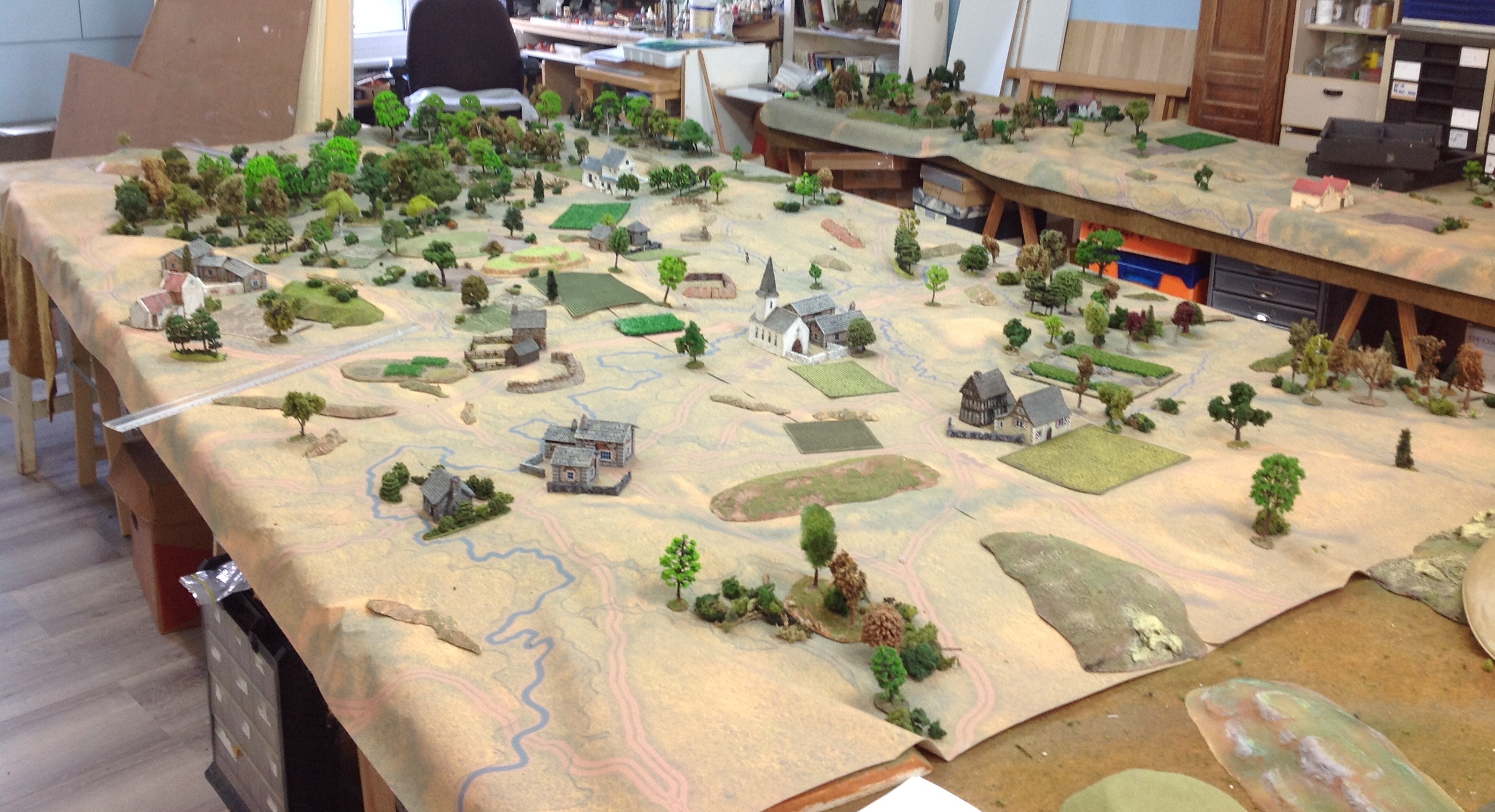
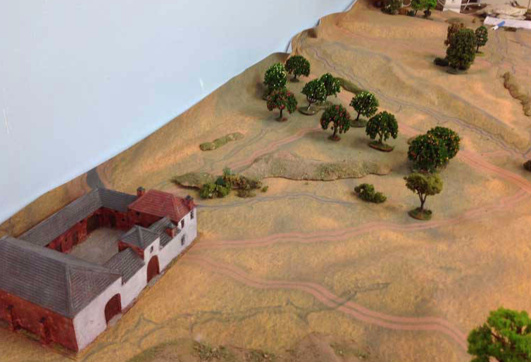
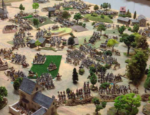
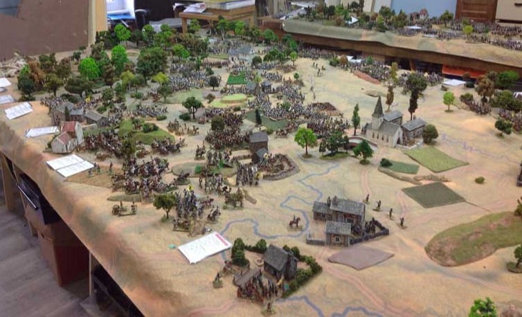
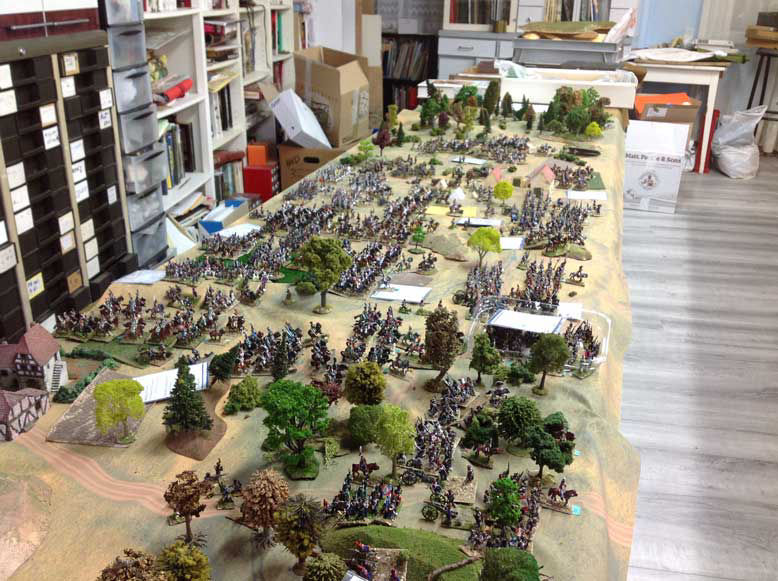
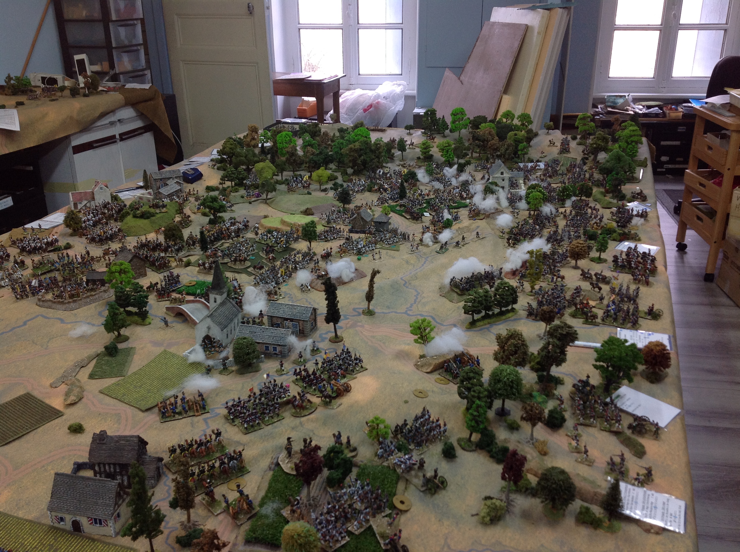
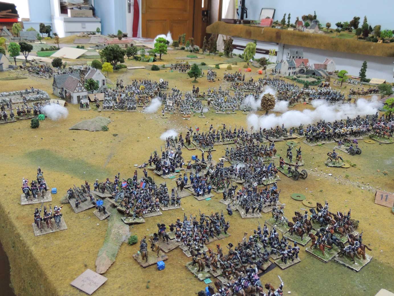
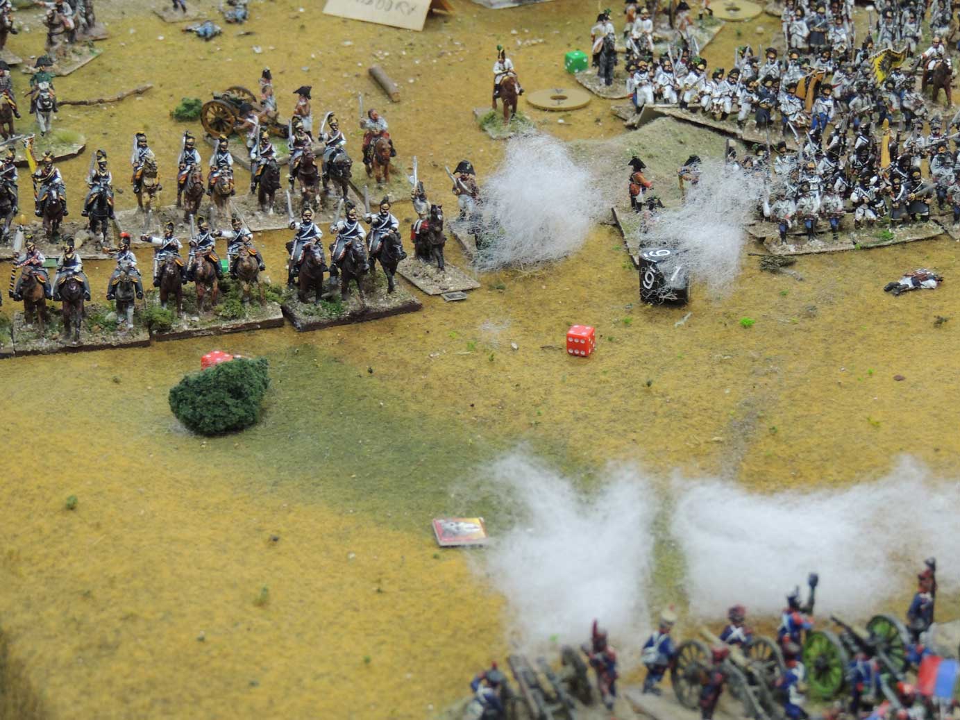
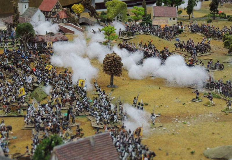
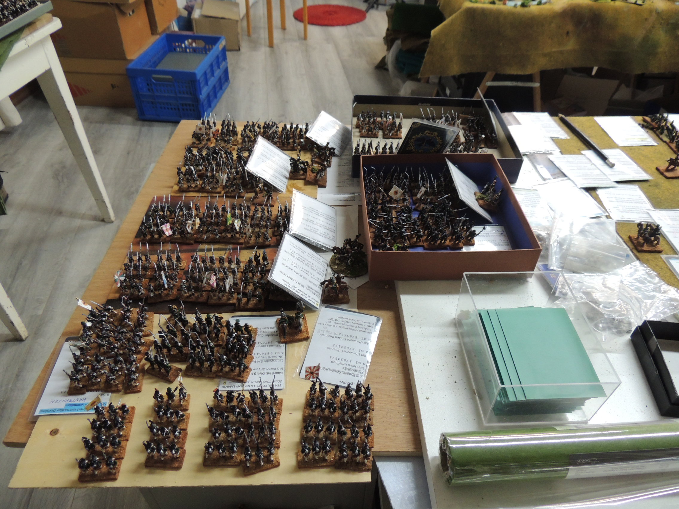
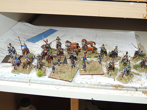
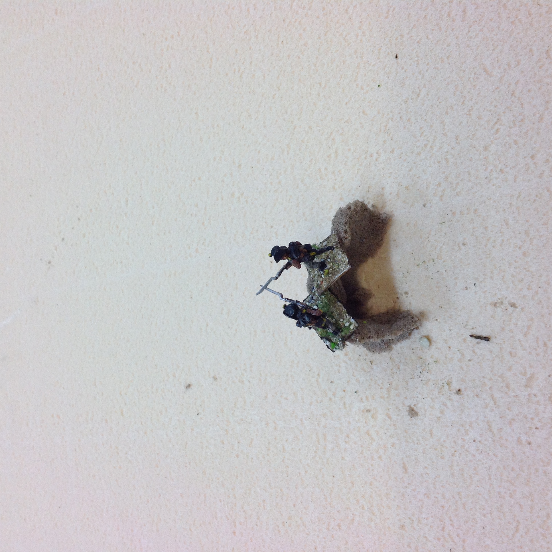
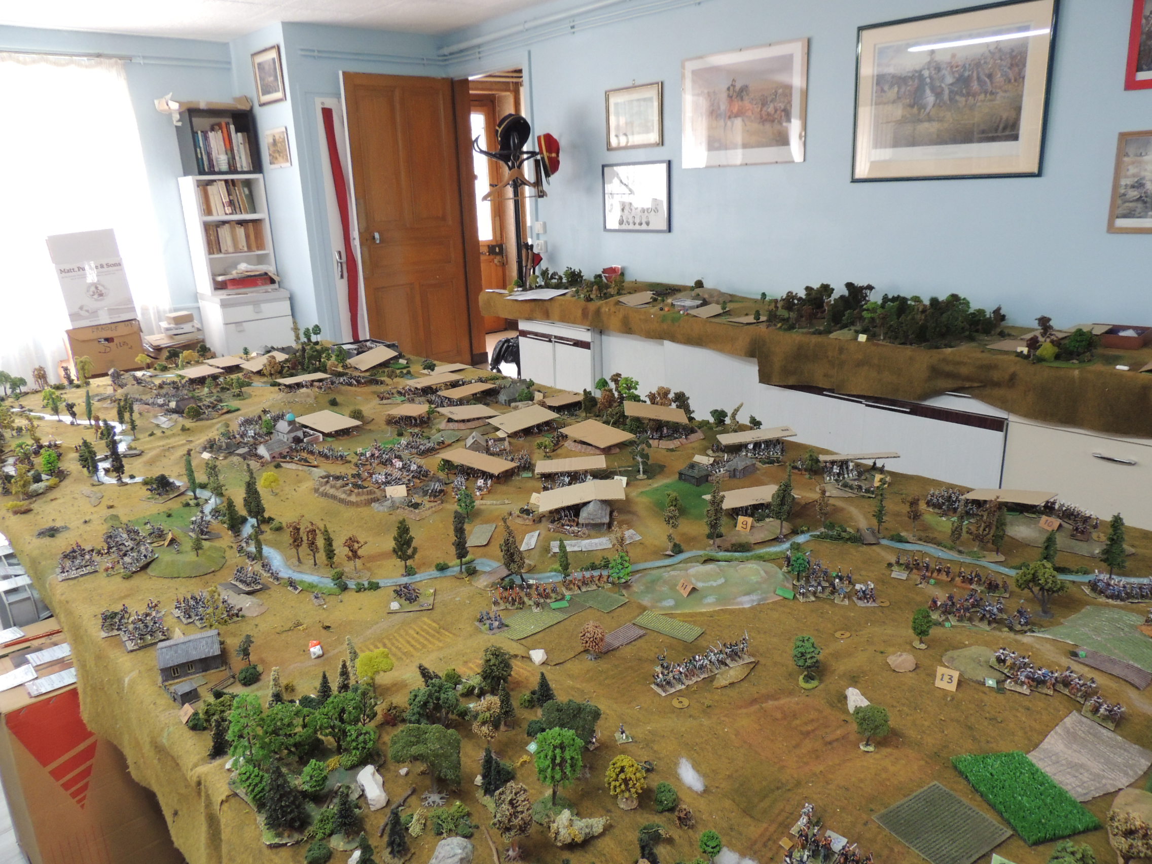
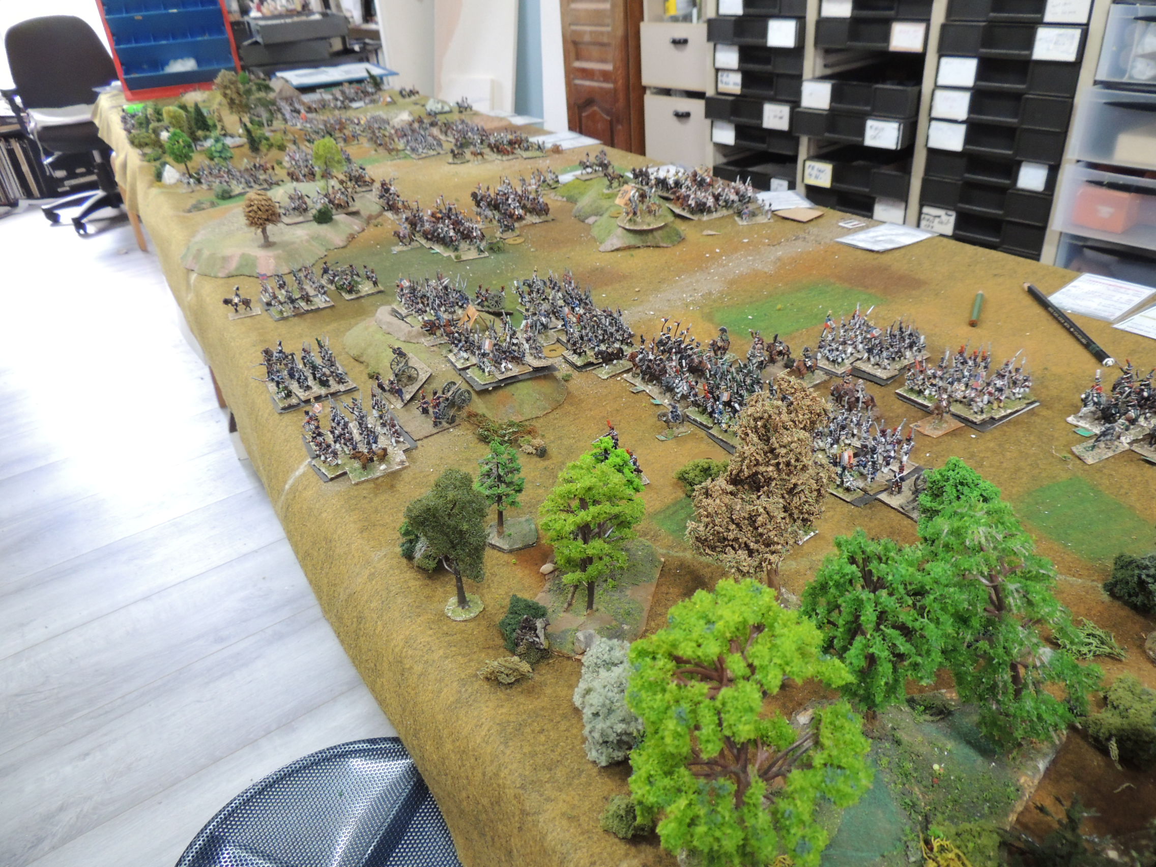
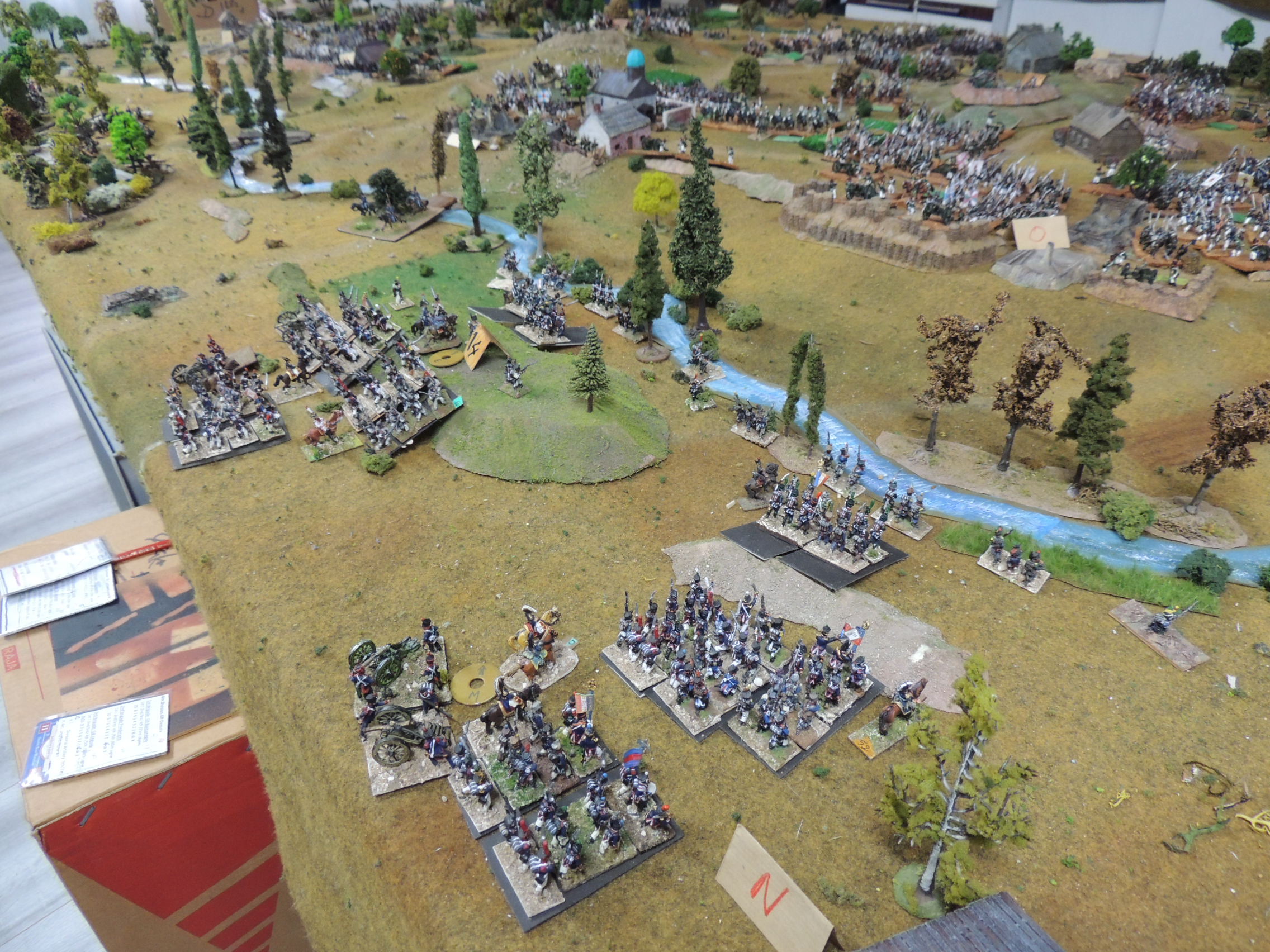
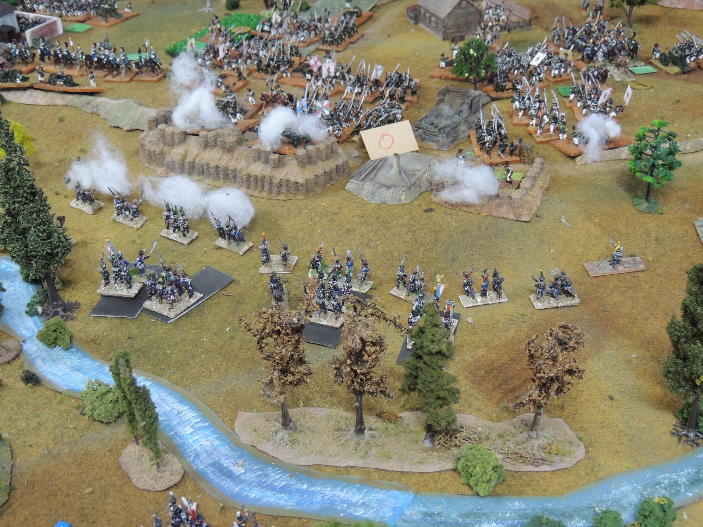
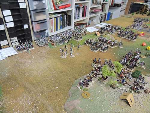
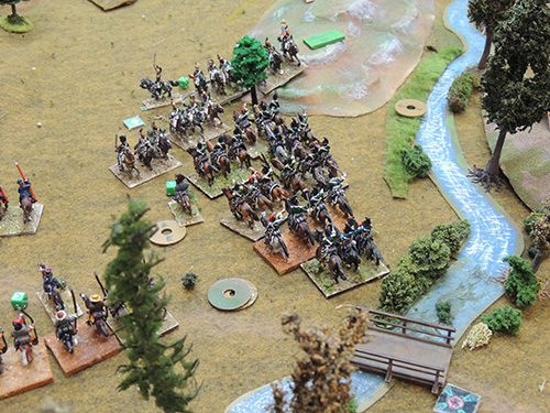
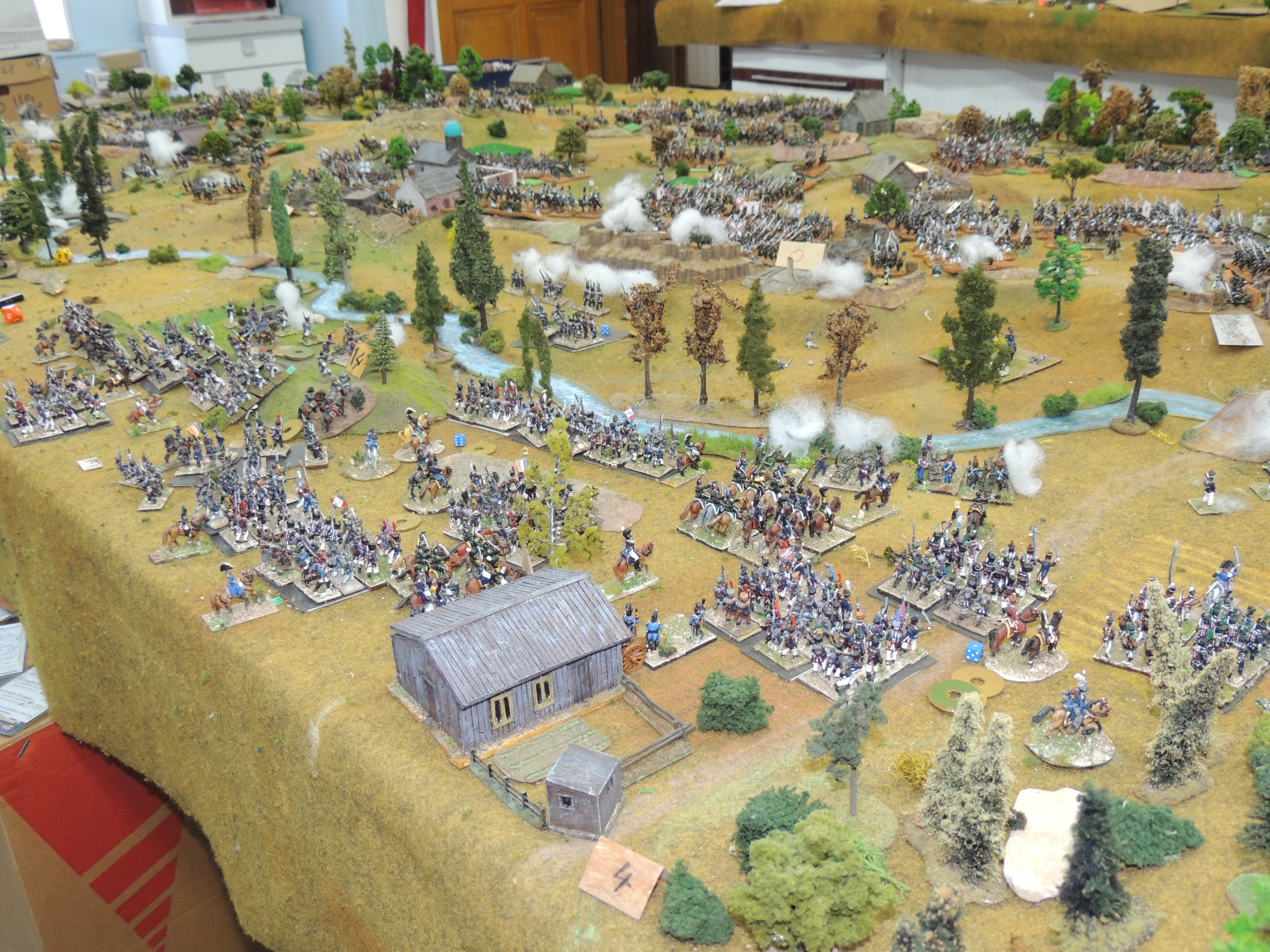
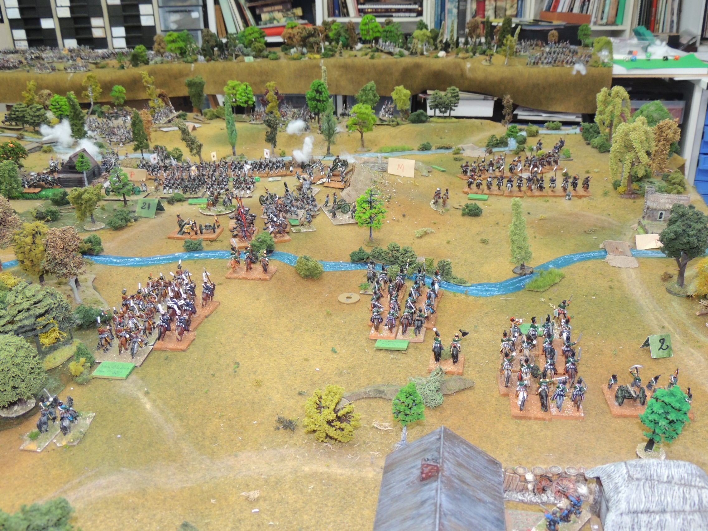
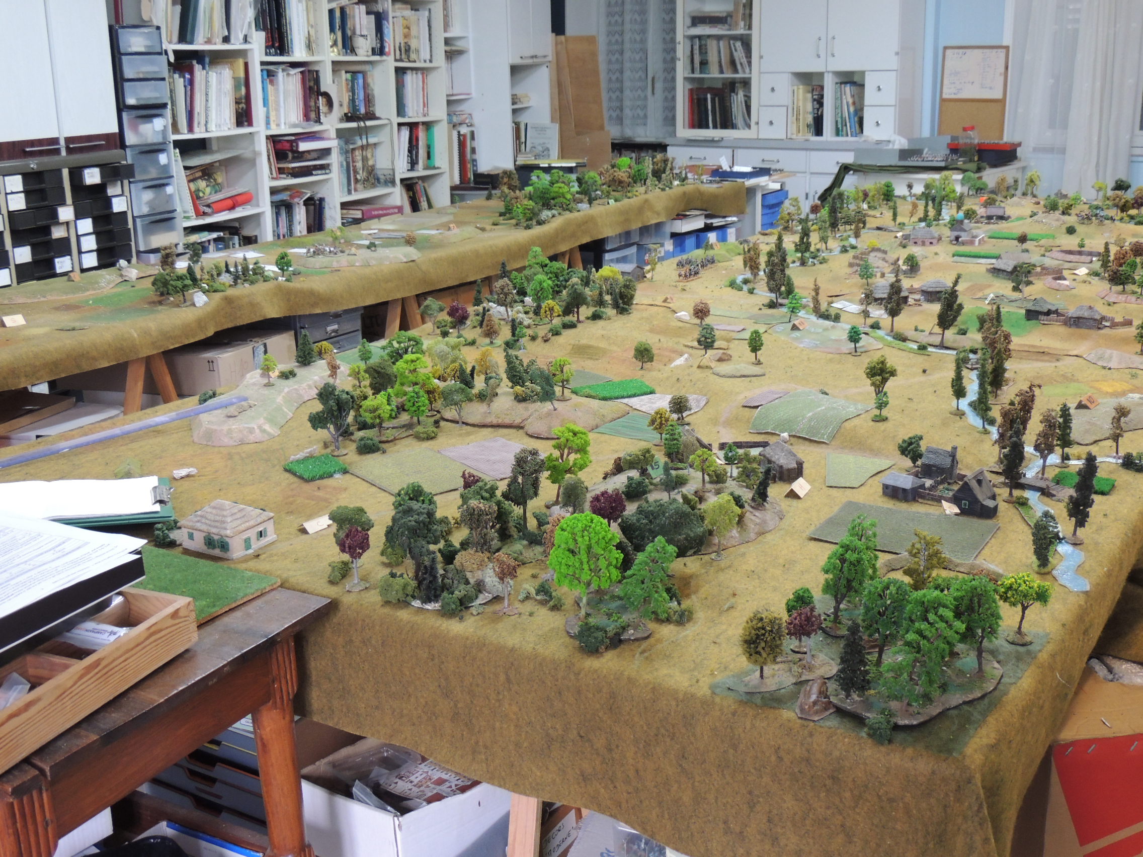
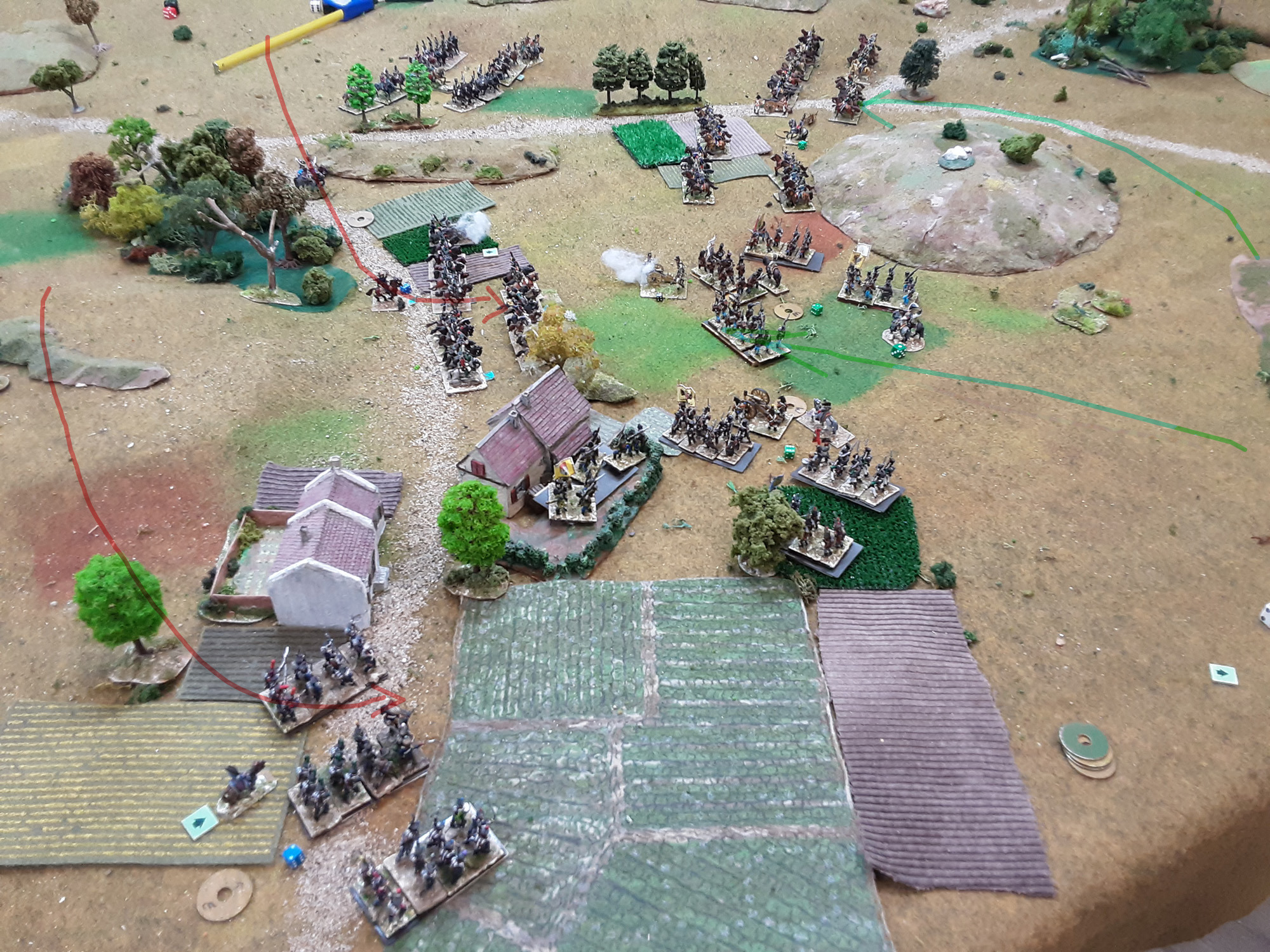
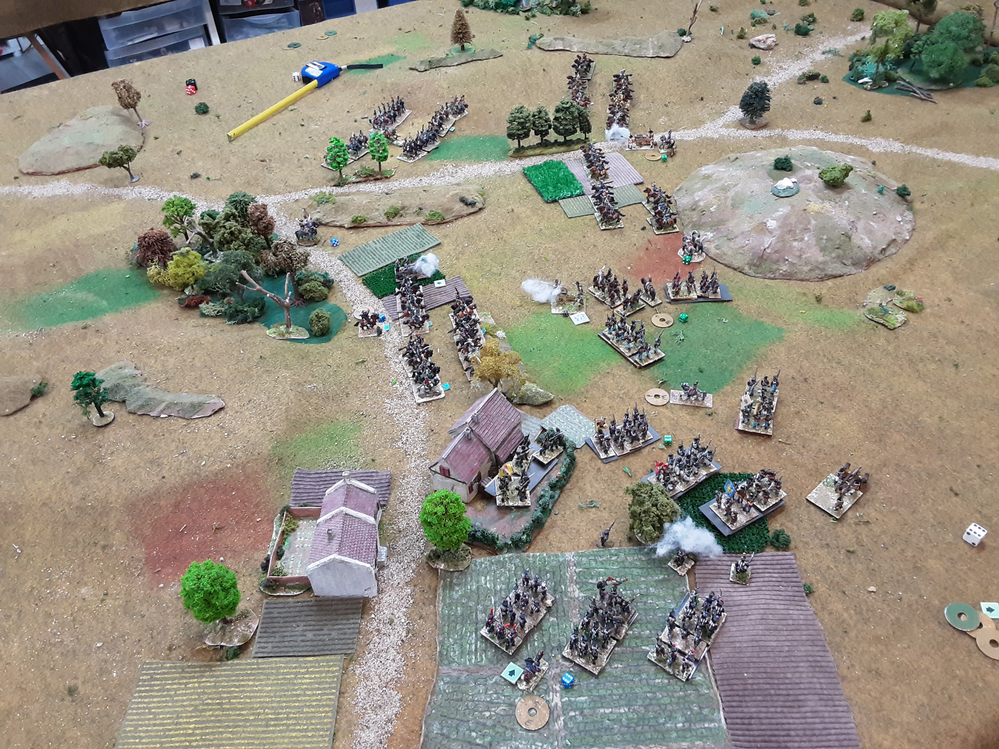
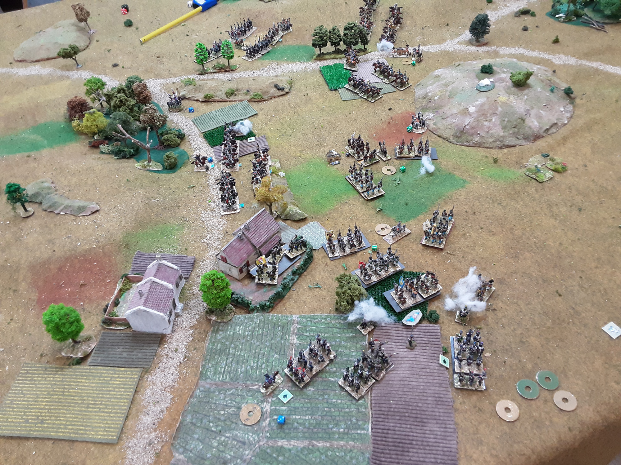
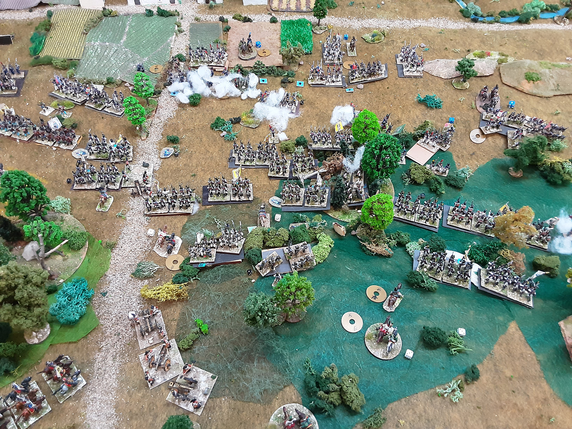
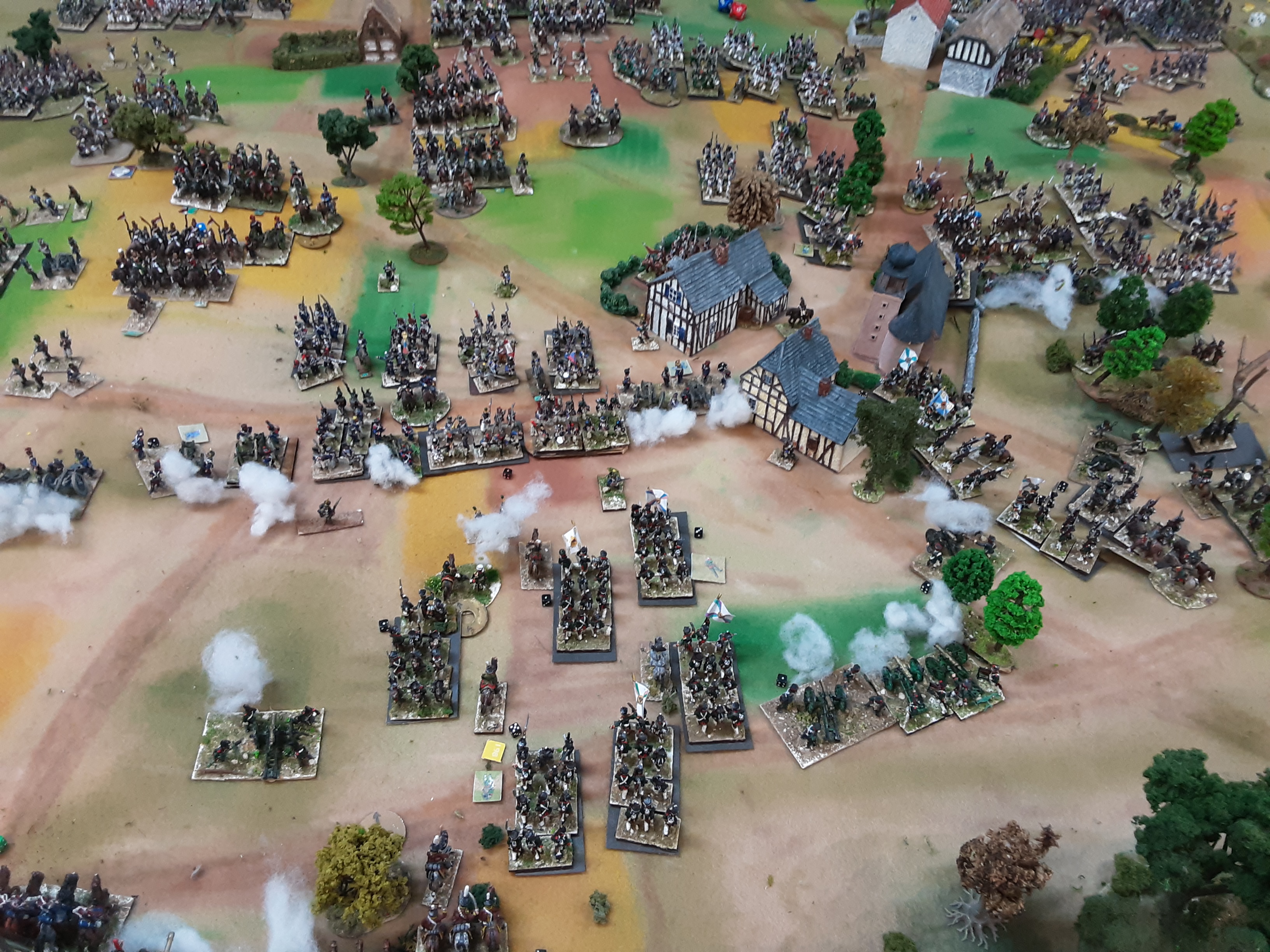
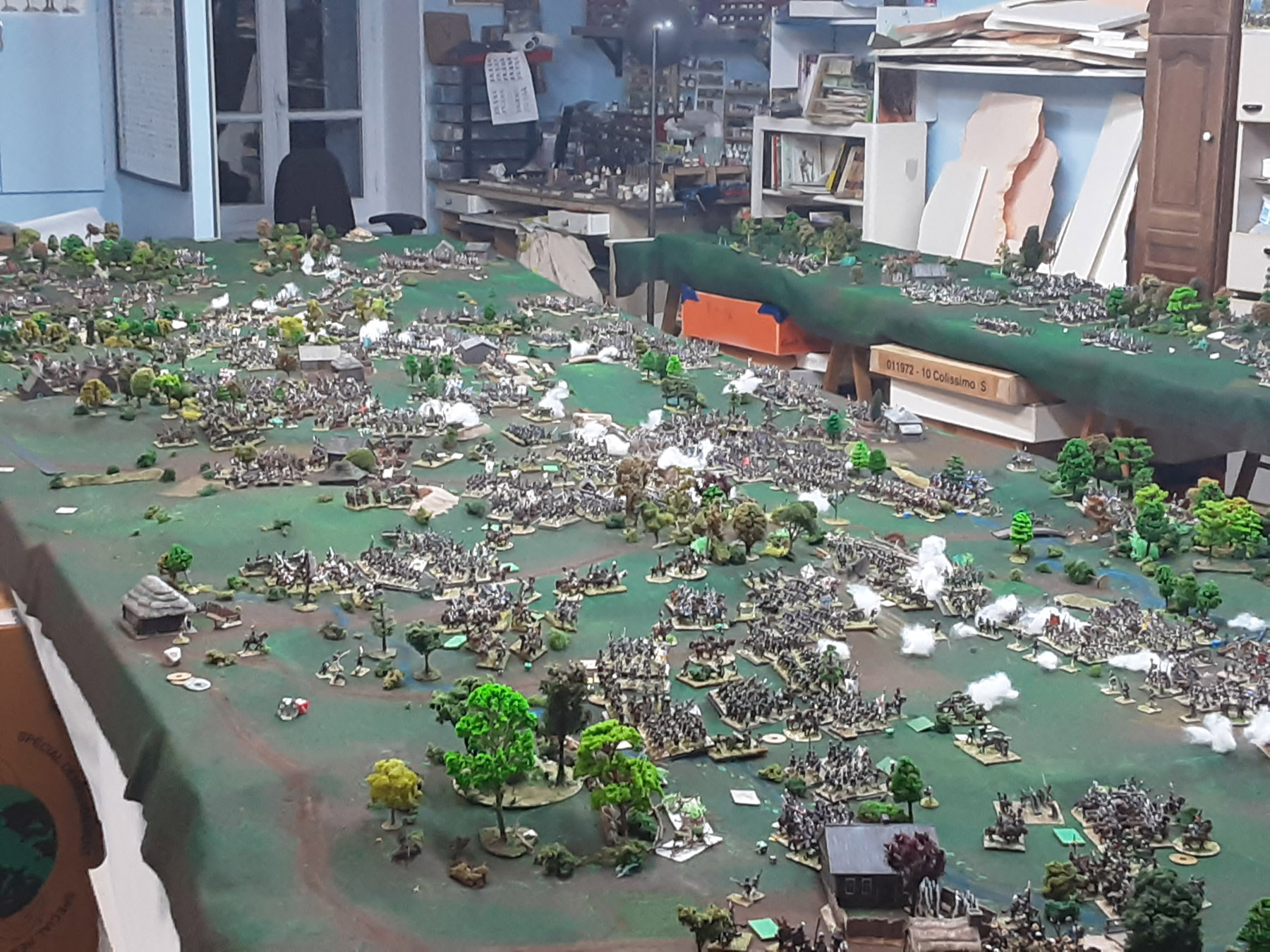
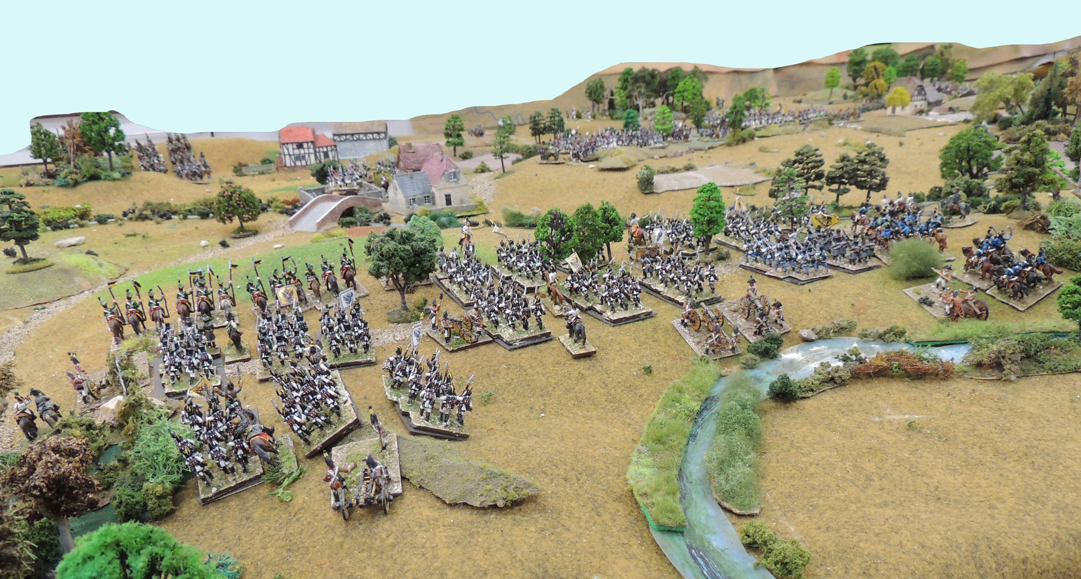
NAPOLEONICS
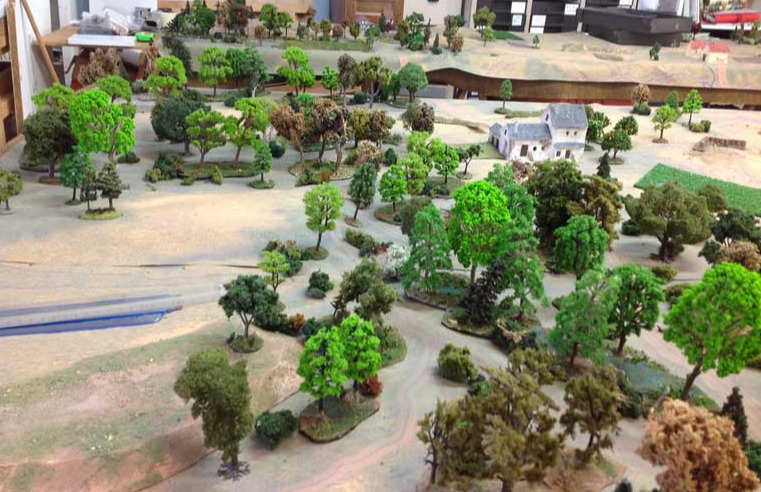
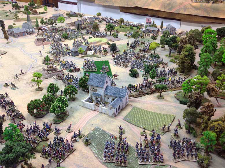
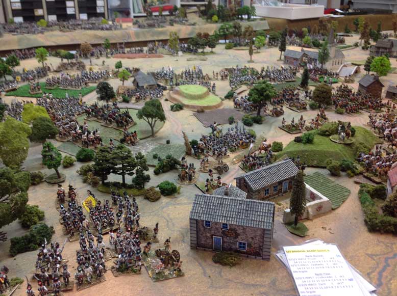
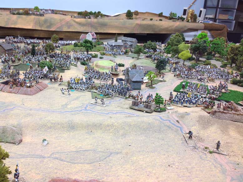
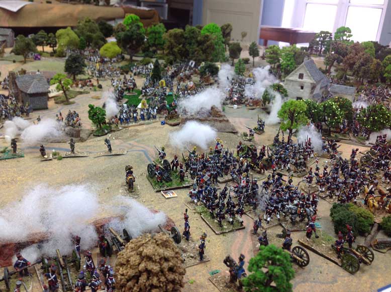
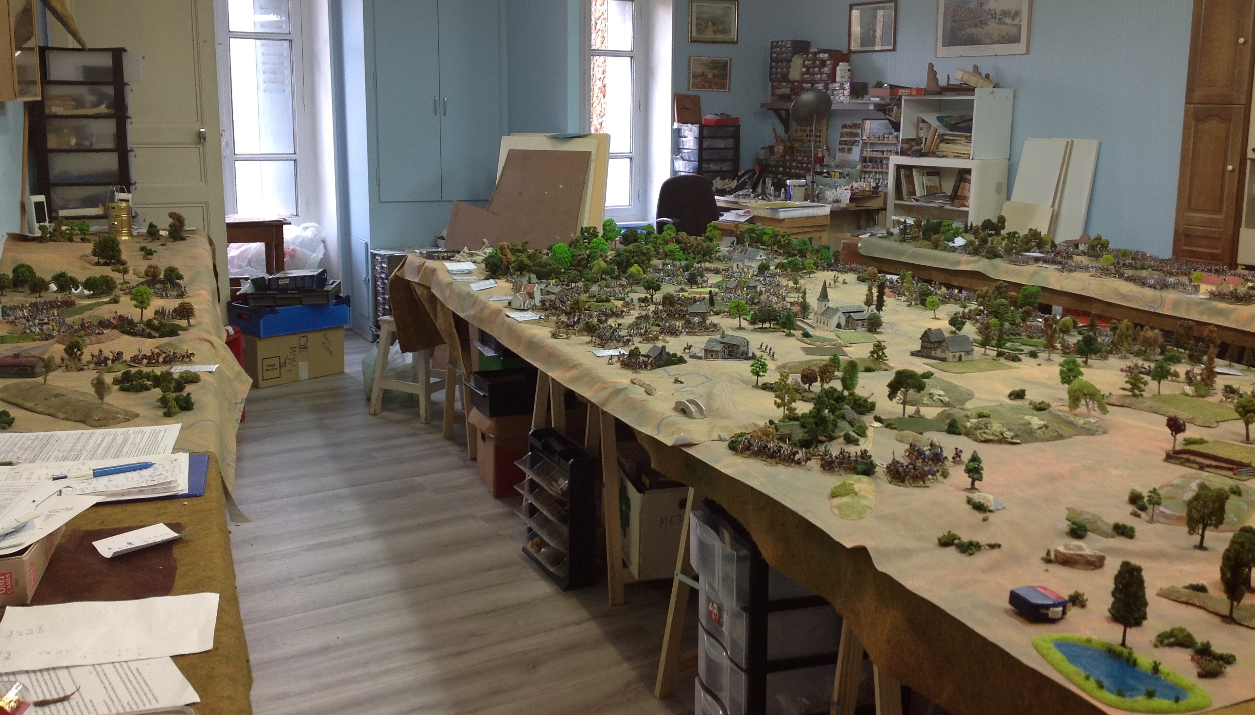
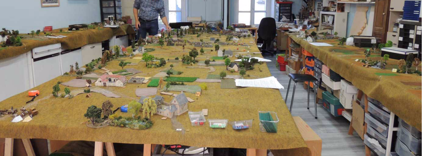
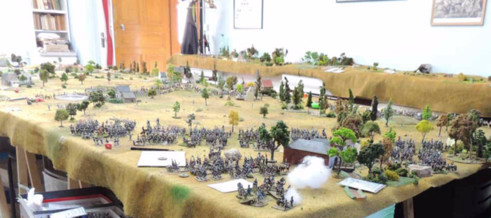
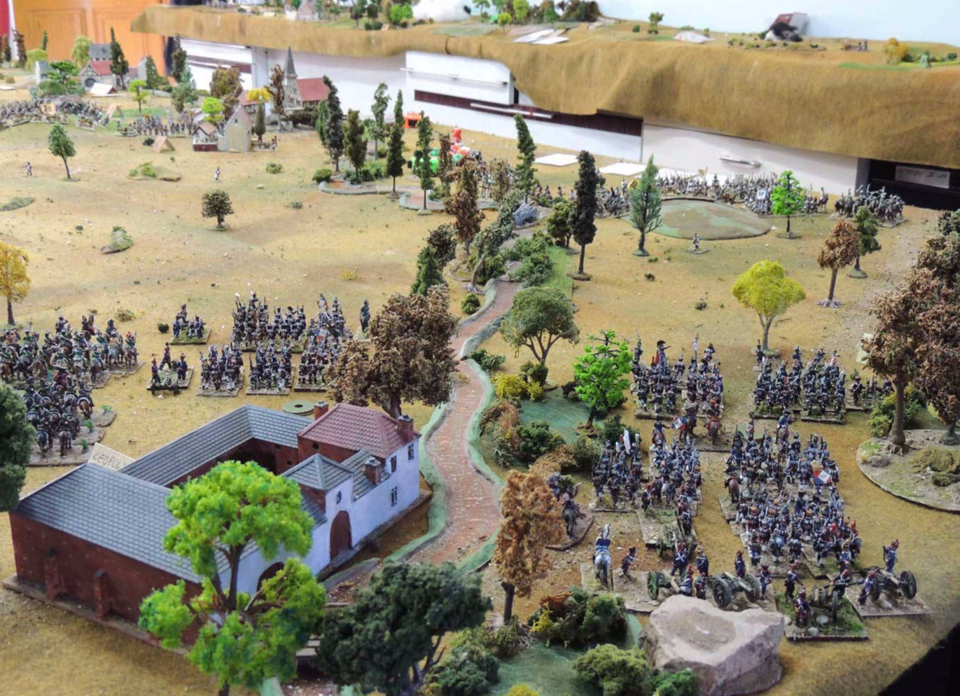
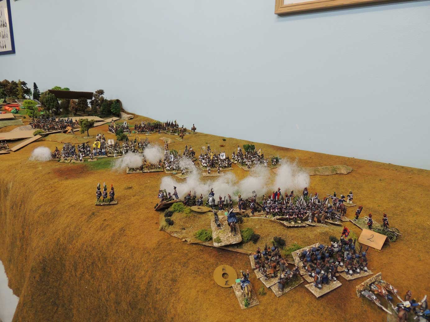
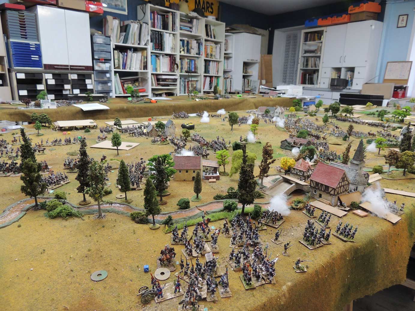
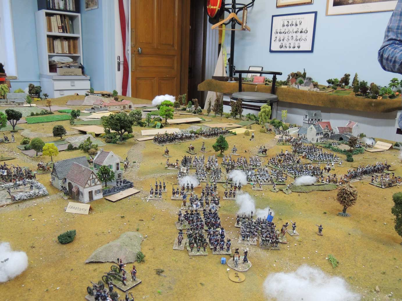
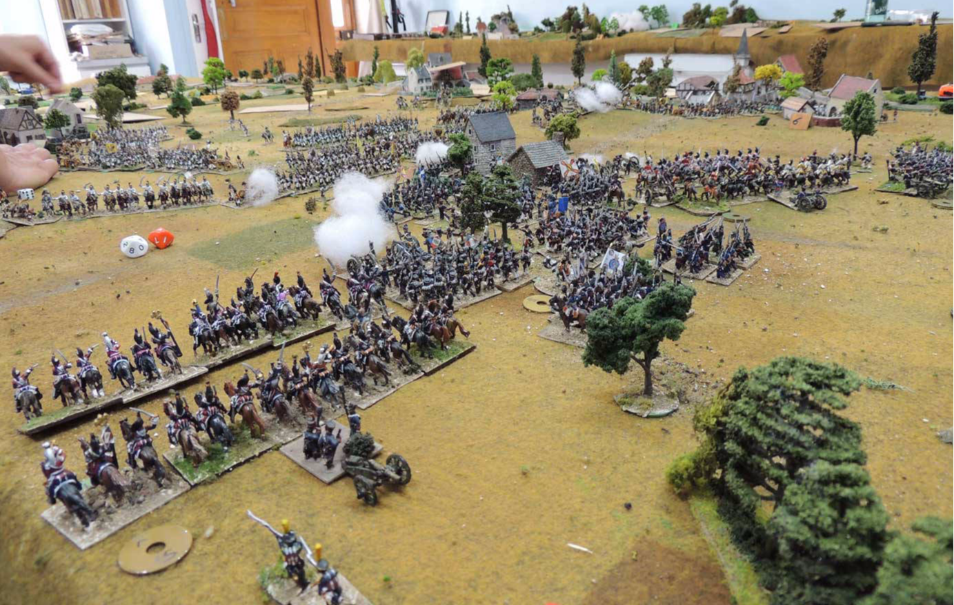
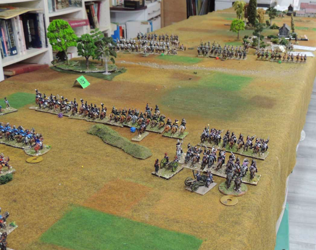
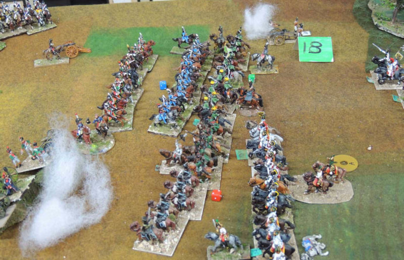
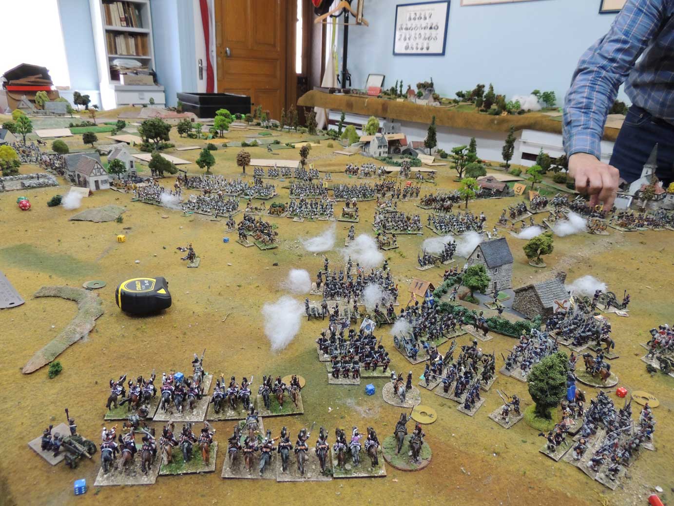
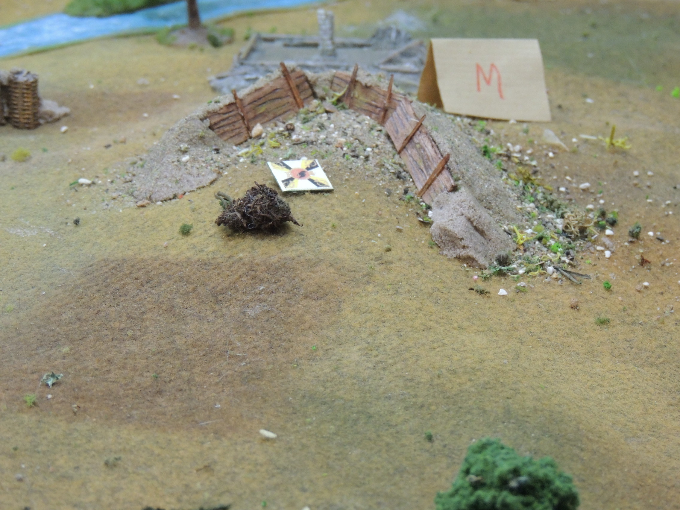
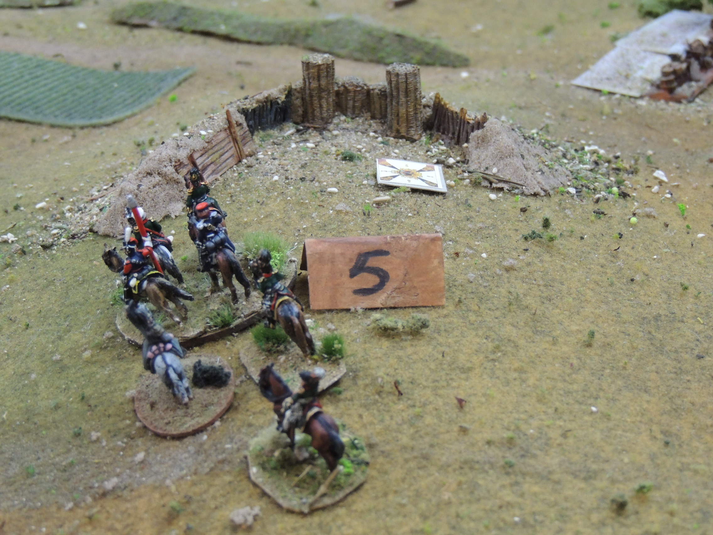
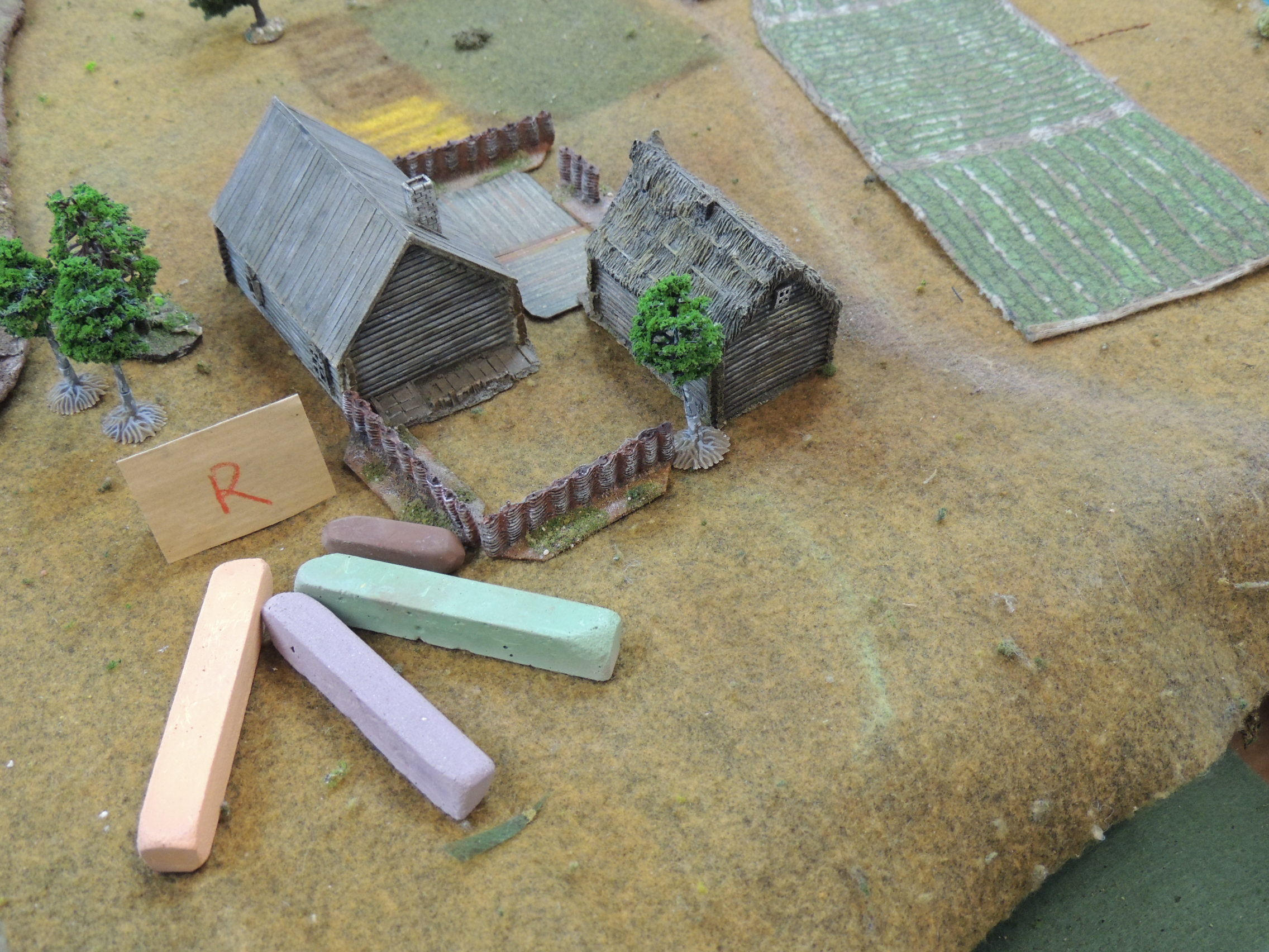
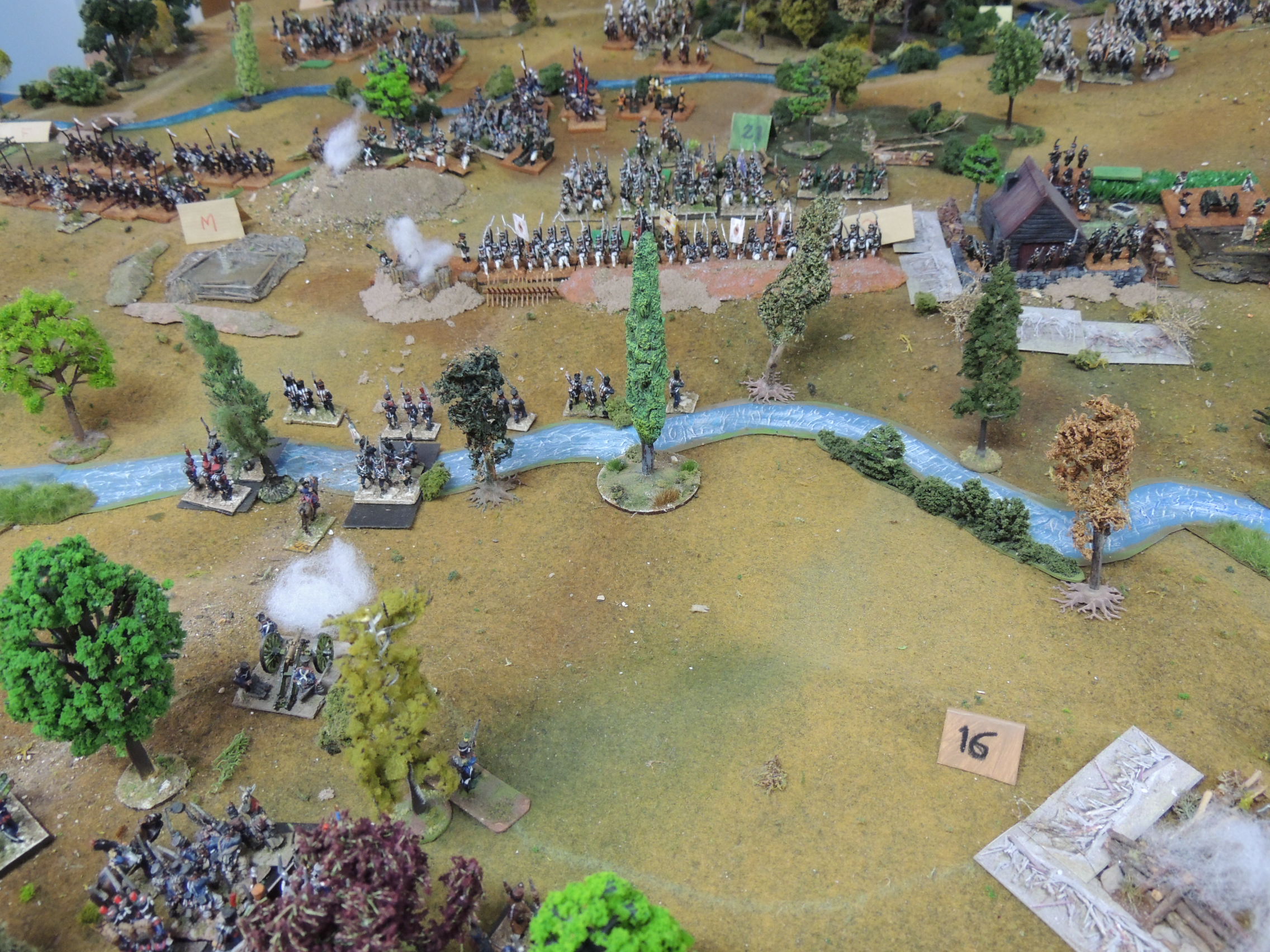
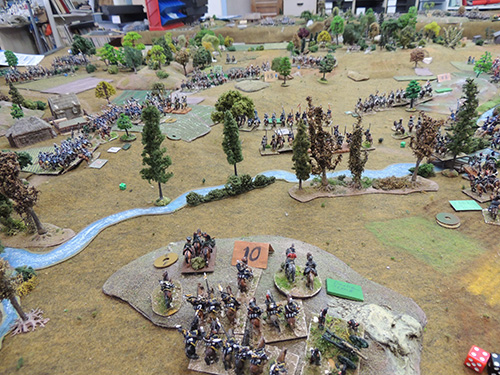
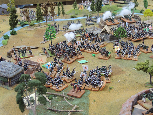
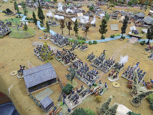
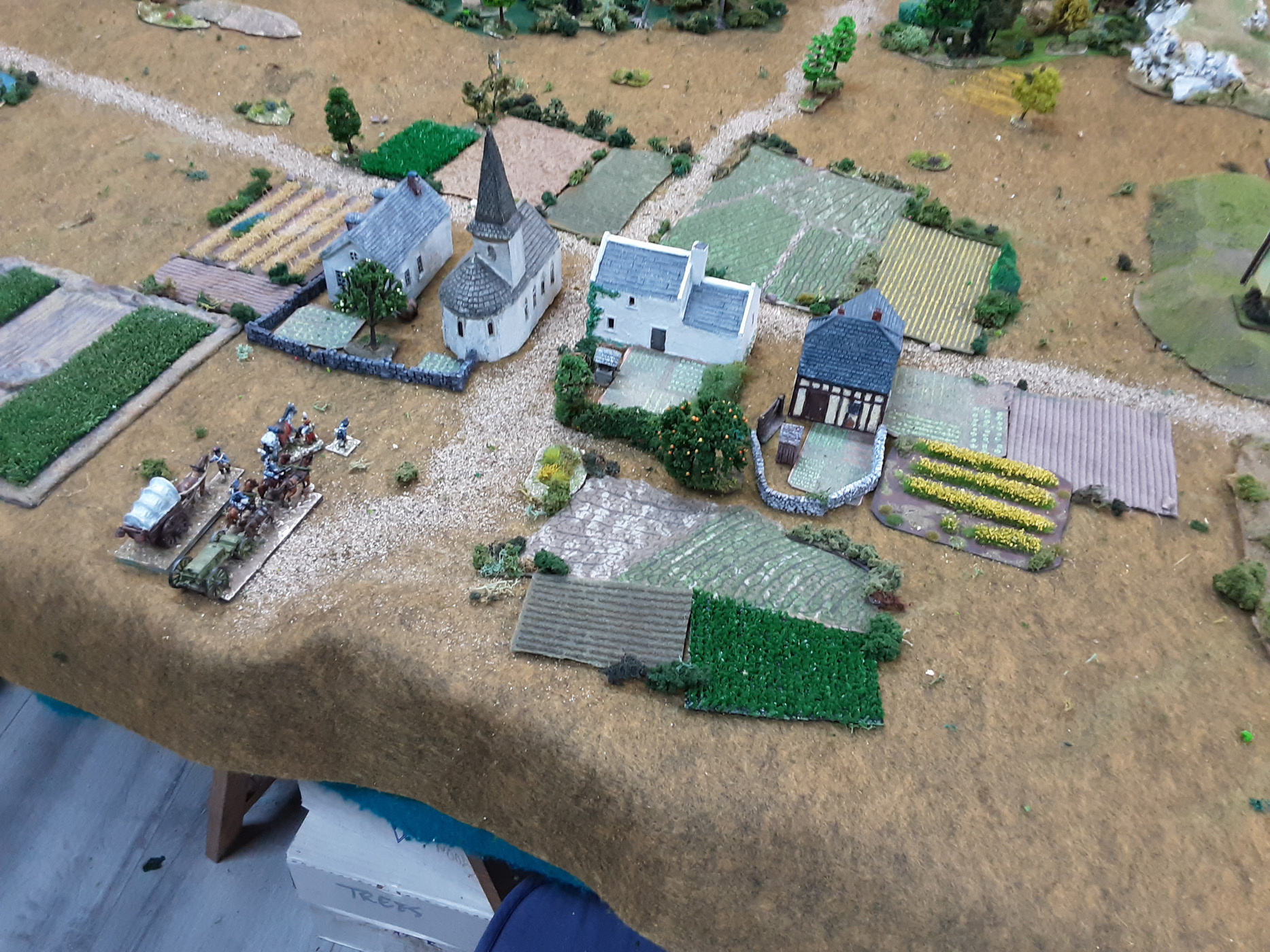
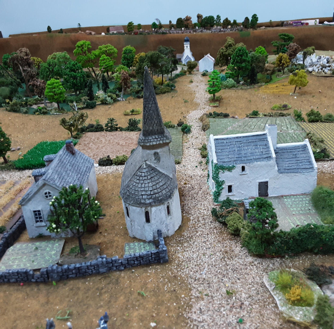
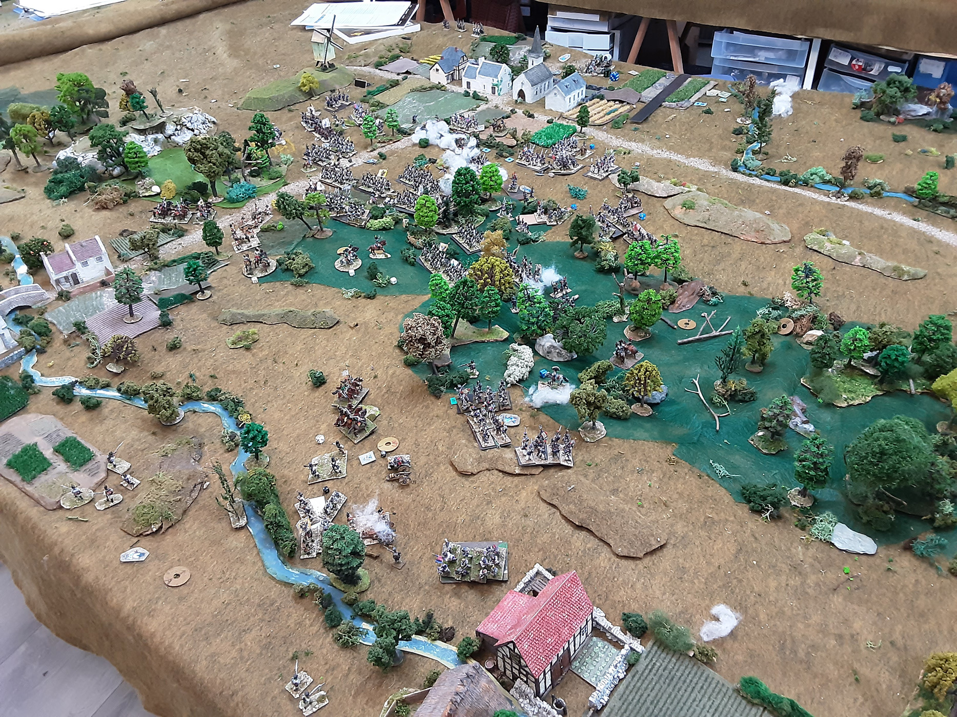
Mostly playing with my rules "Balls and fire" 15/18mm figures.
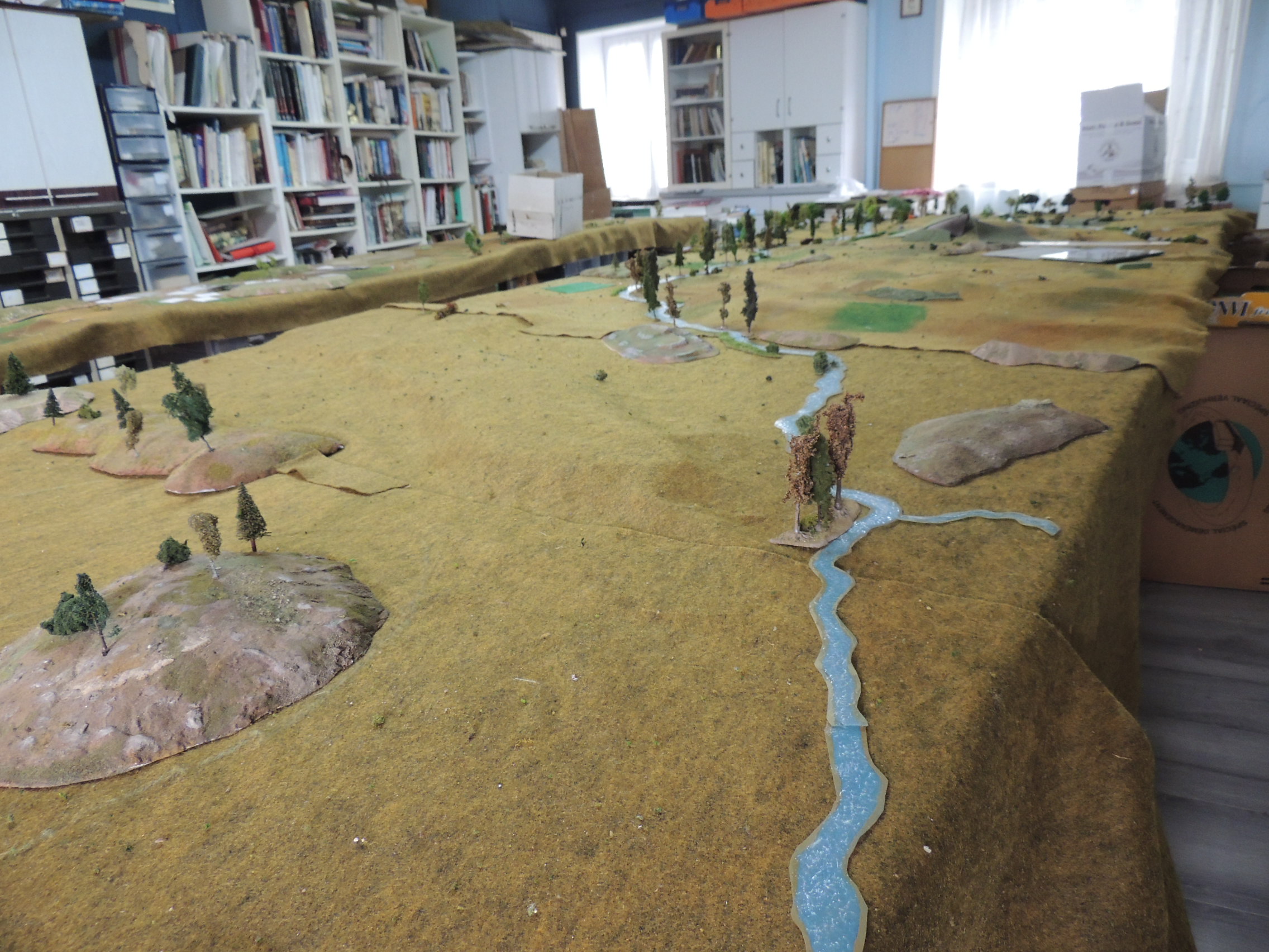
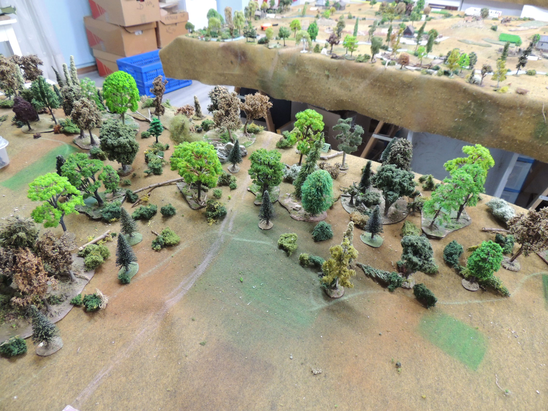
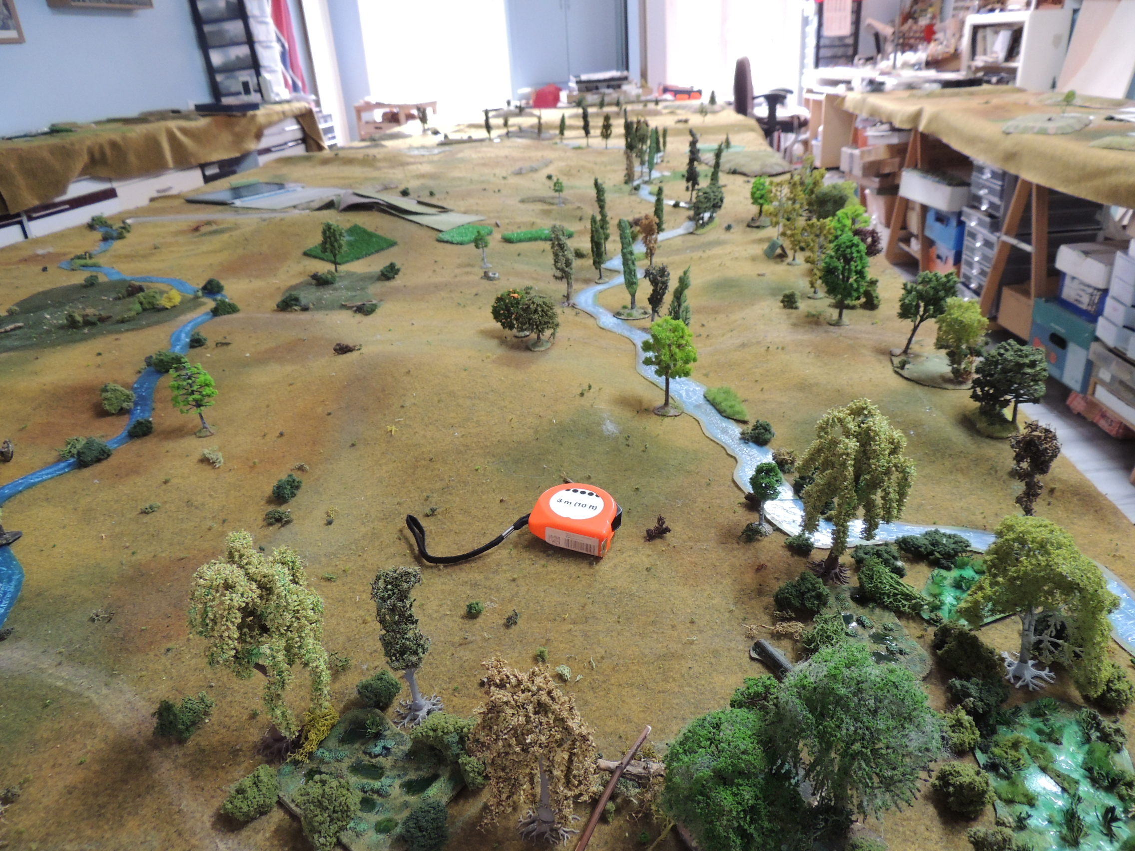
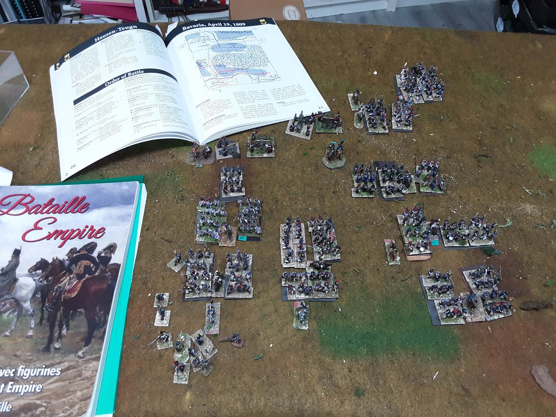
And my 1809 campaign
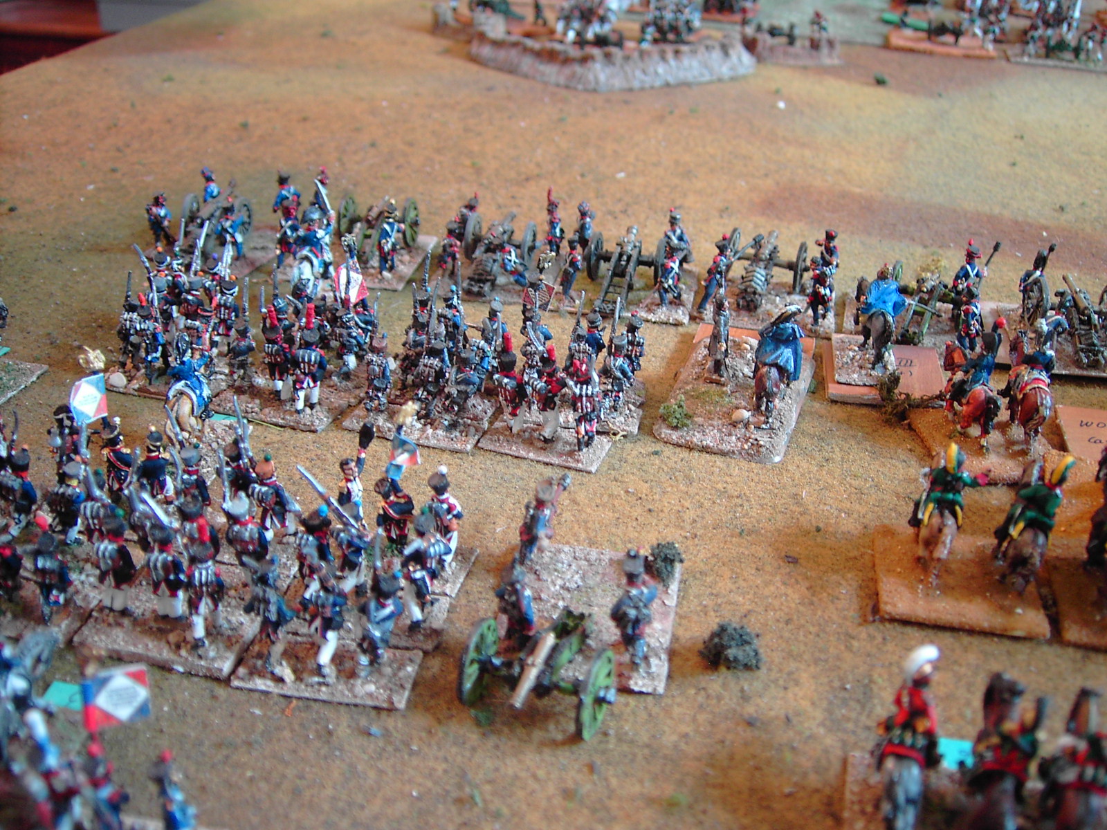
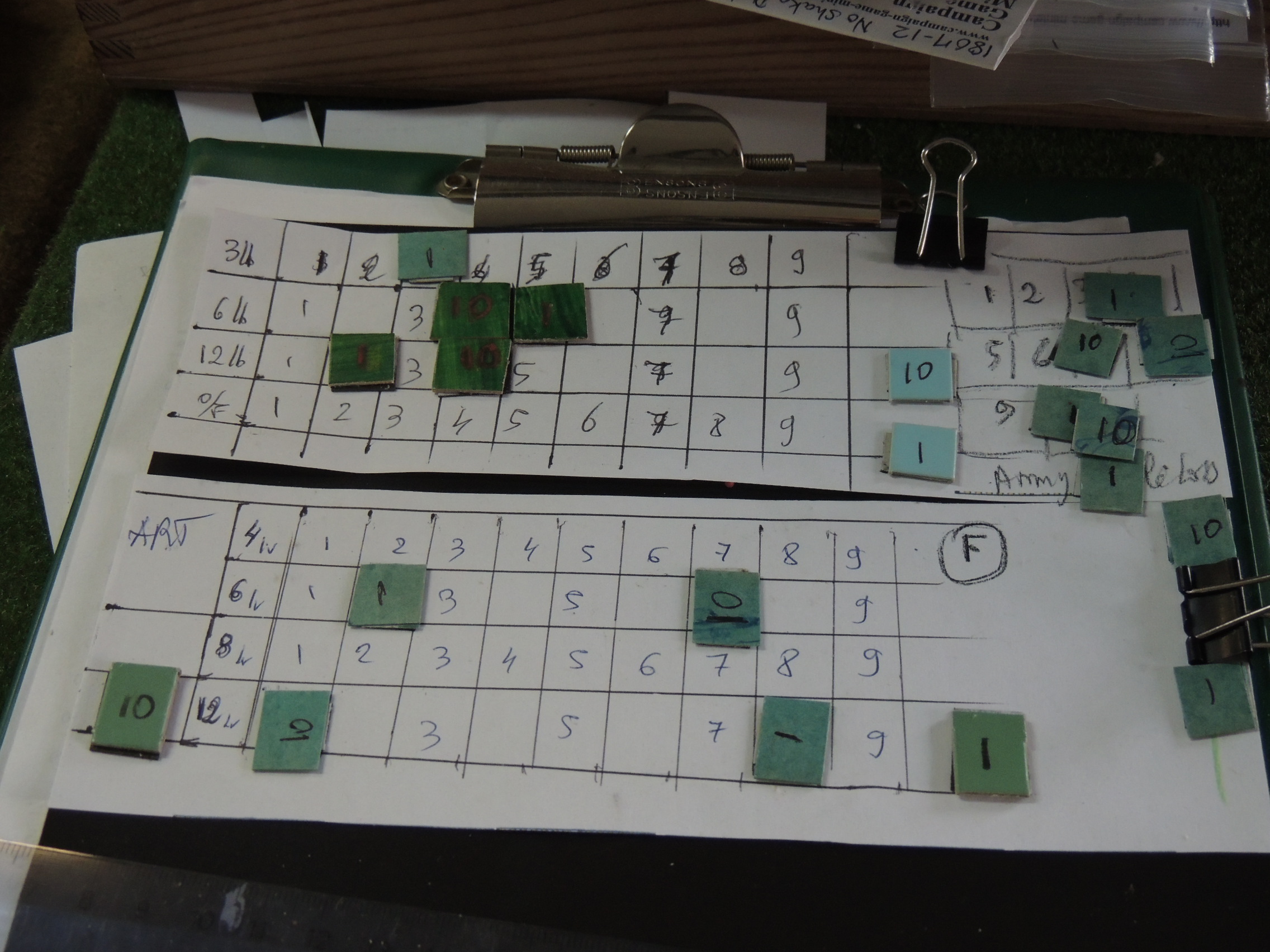
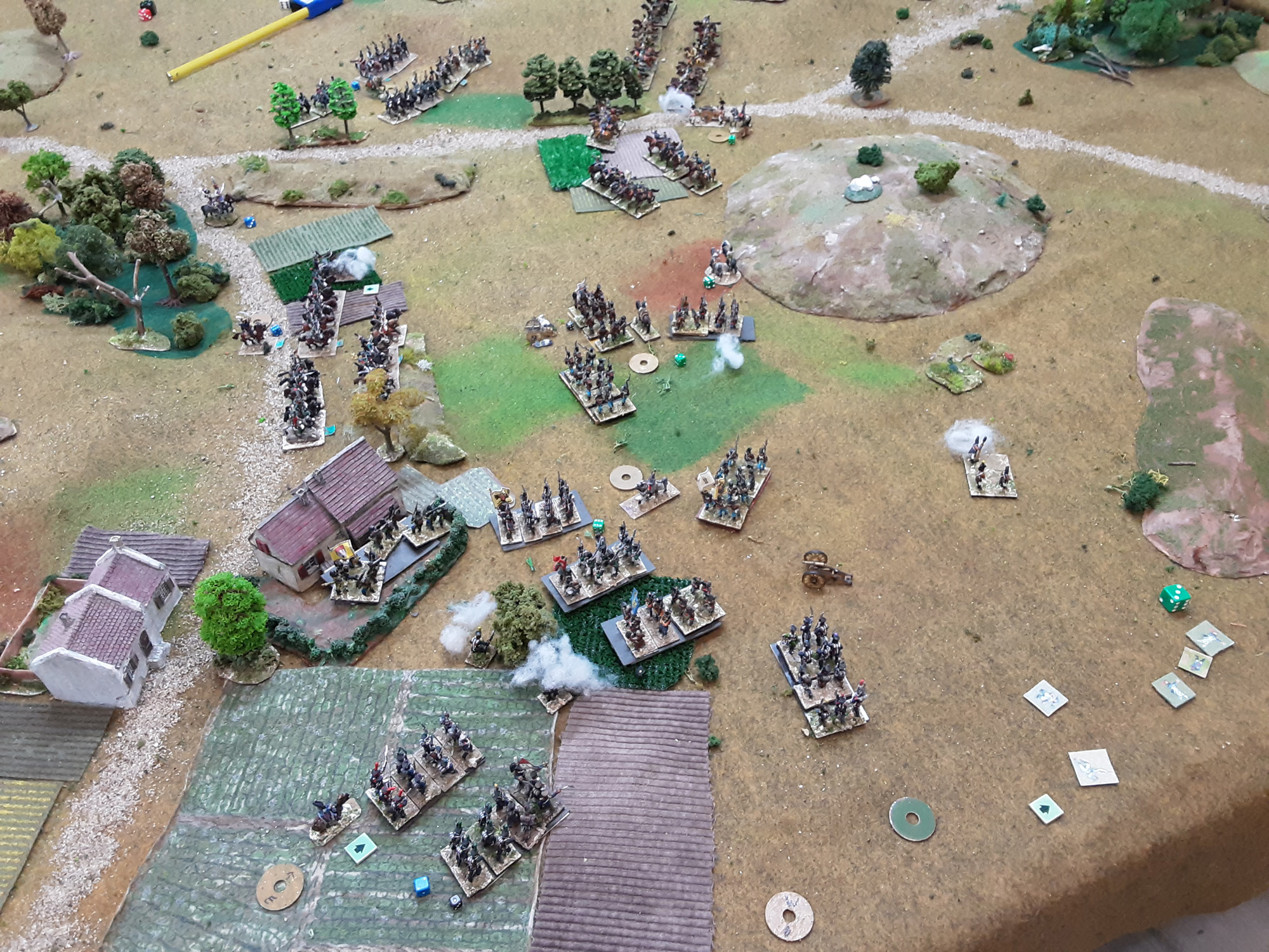
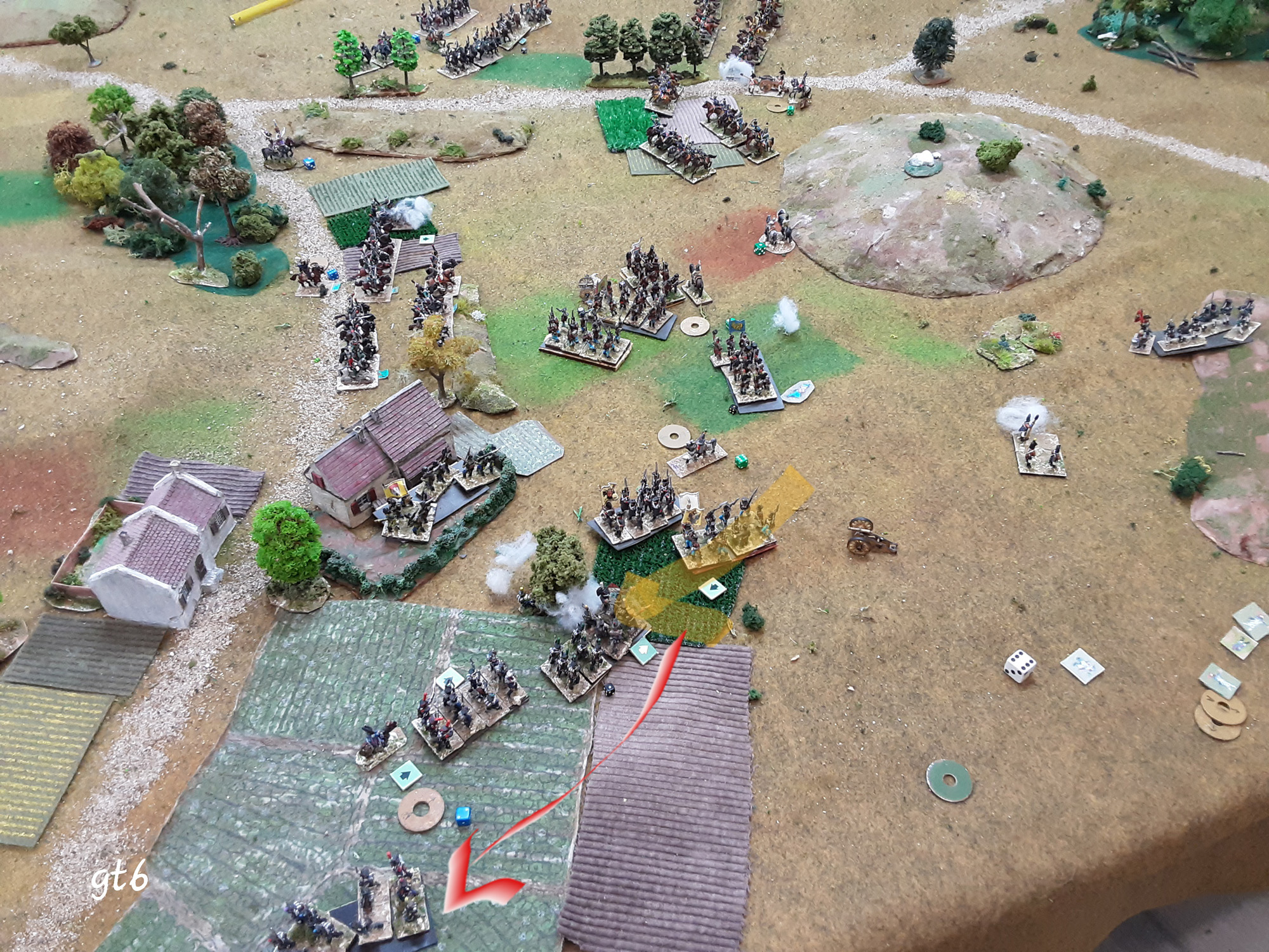
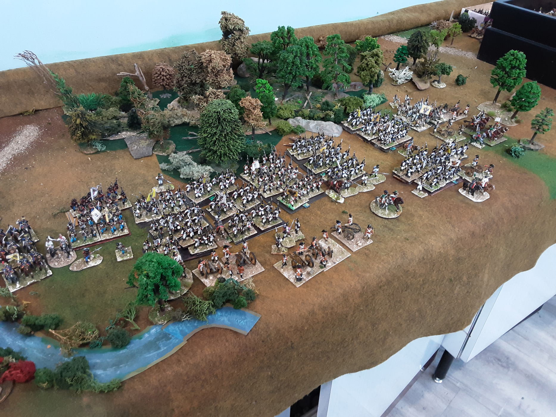
Two versions: B&F 2000 where outmaneuver units are brigades/ regiments + artillery batteries. Command and control important.
And B&F 1000 where you still roughly go with brigades but they are made of cavalry regiments or "units" of 800-1200. + batteries. (abandonned)
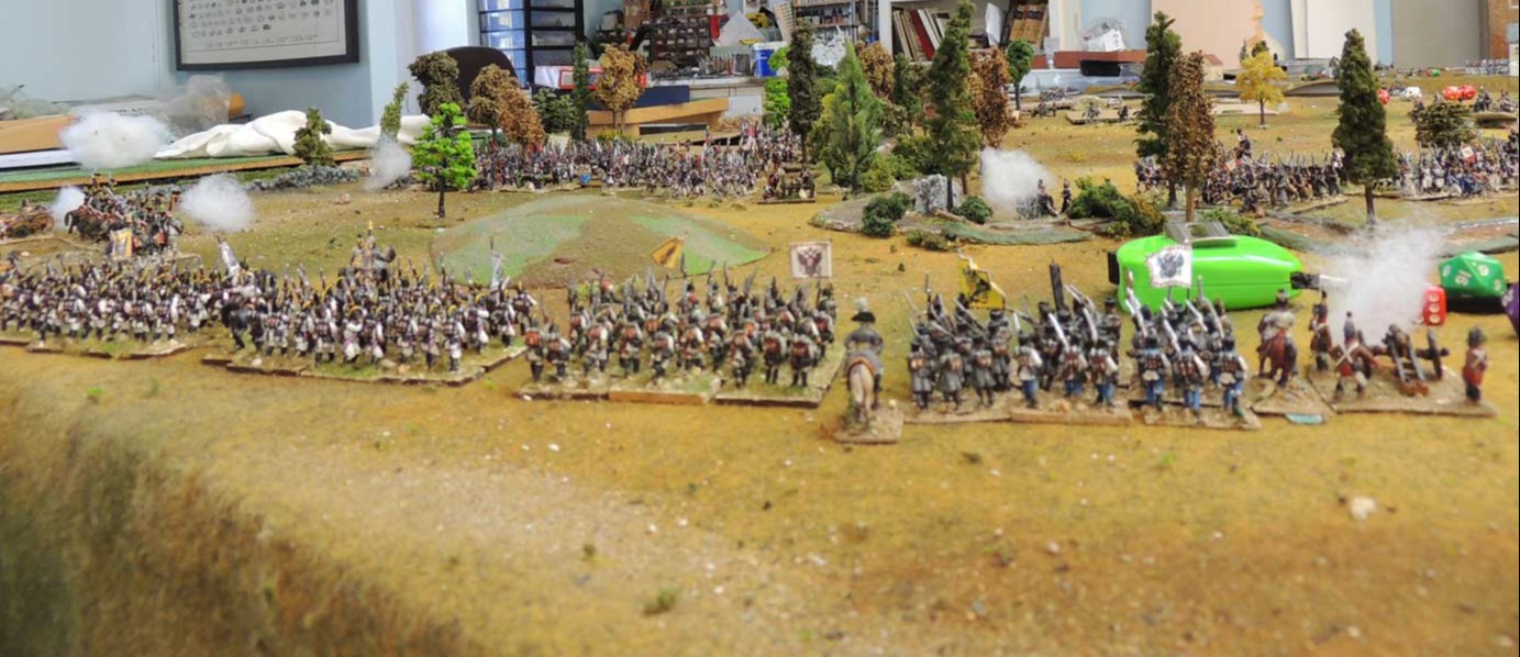
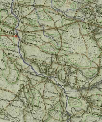
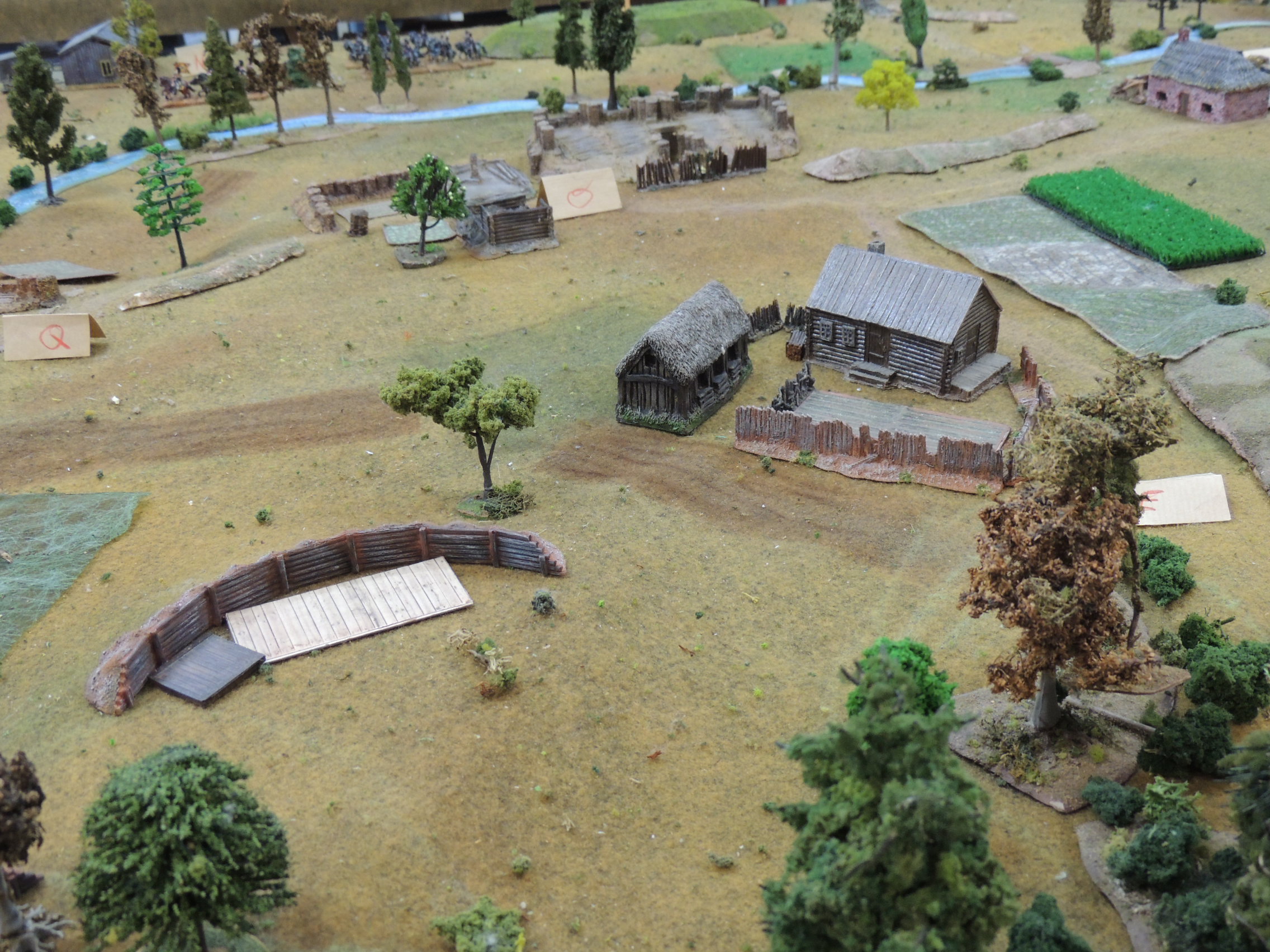
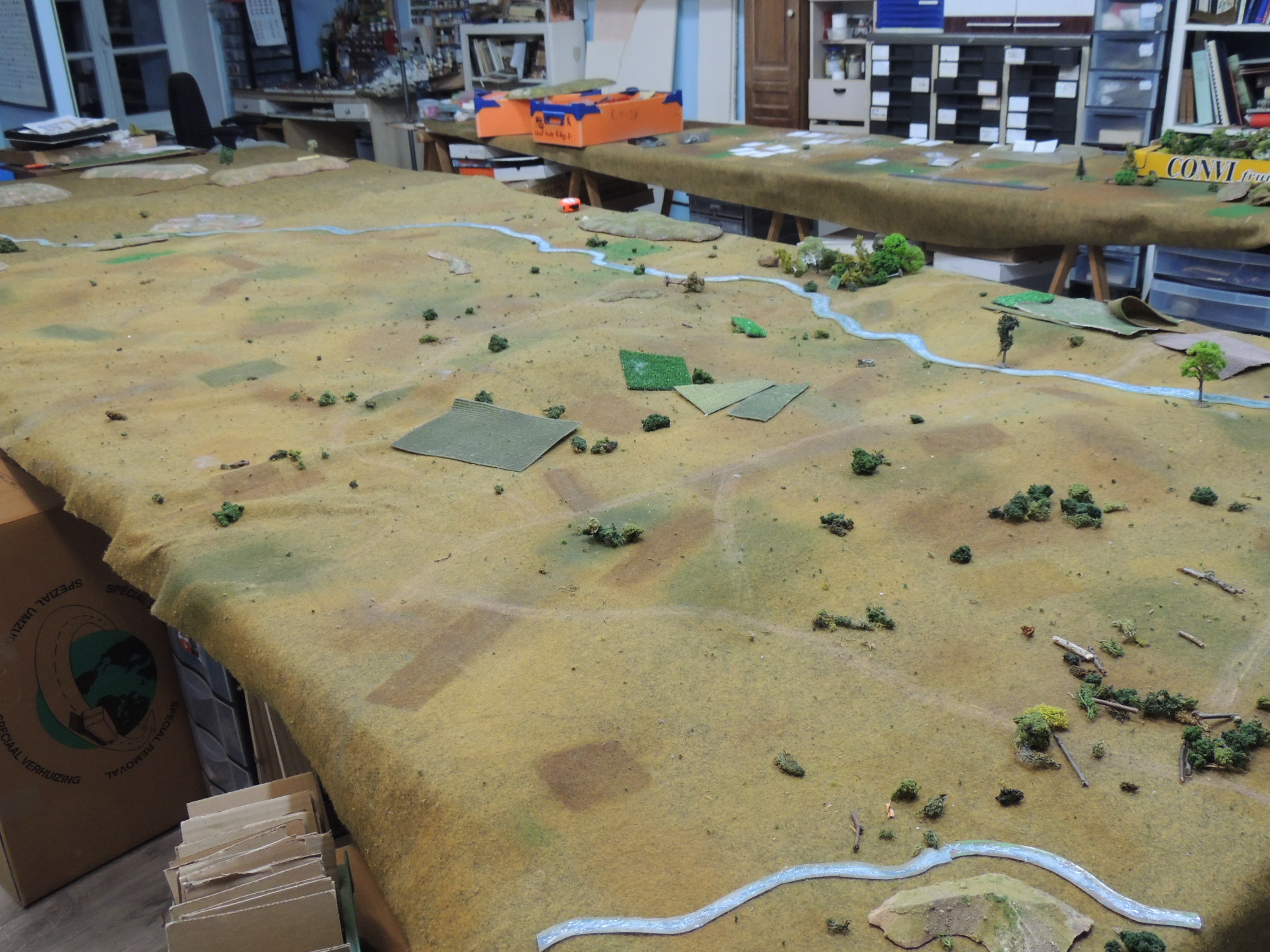
What if battle of Gjhatsk 1813
The 1809 campaign from Spt 23